Home » Mapotic blog » Map Making Evolves: Discover Mapotic’s Latest User-Driven Upgrades
Mapotic is always looking for ways to improve the map creation experience for our users. That’s why we’re excited to announce a number of new features that have been rolled out in response to feedback from our map creators.
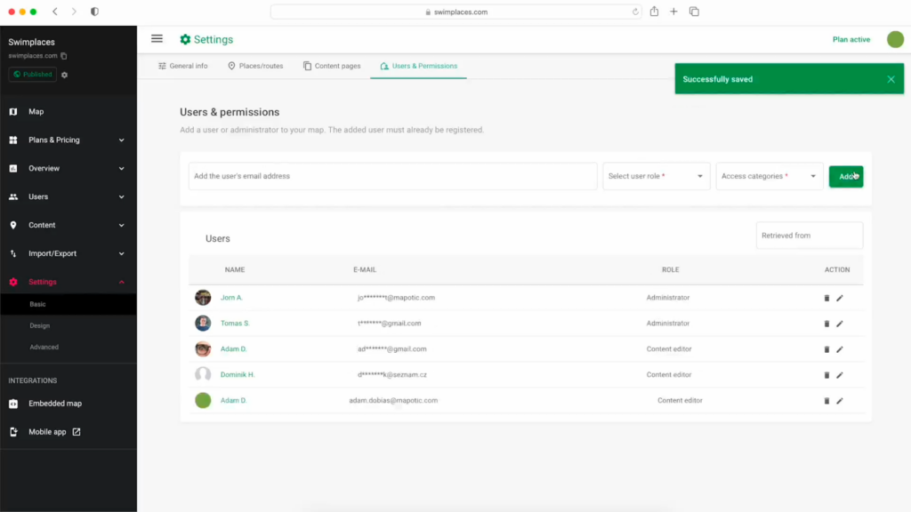
We’ve enhanced the Users & Permissions section in Mapotic to make it easier to manage access to your map project. You can now add and remove collaborators more easily, and you can also assign different permissions to each collaborator. This gives you more control over whole map making process and set up who has access to your map – and what they can manage.
With the introduction of the Content editor role, Mapotic brings collaborating on interactive maps to a new level of efficiency. By empowering individuals to focus on specific content management tasks without affecting map settings, we’re fostering a more streamlined and productive map making environment.
Key Benefits of the new Content Editor Role:
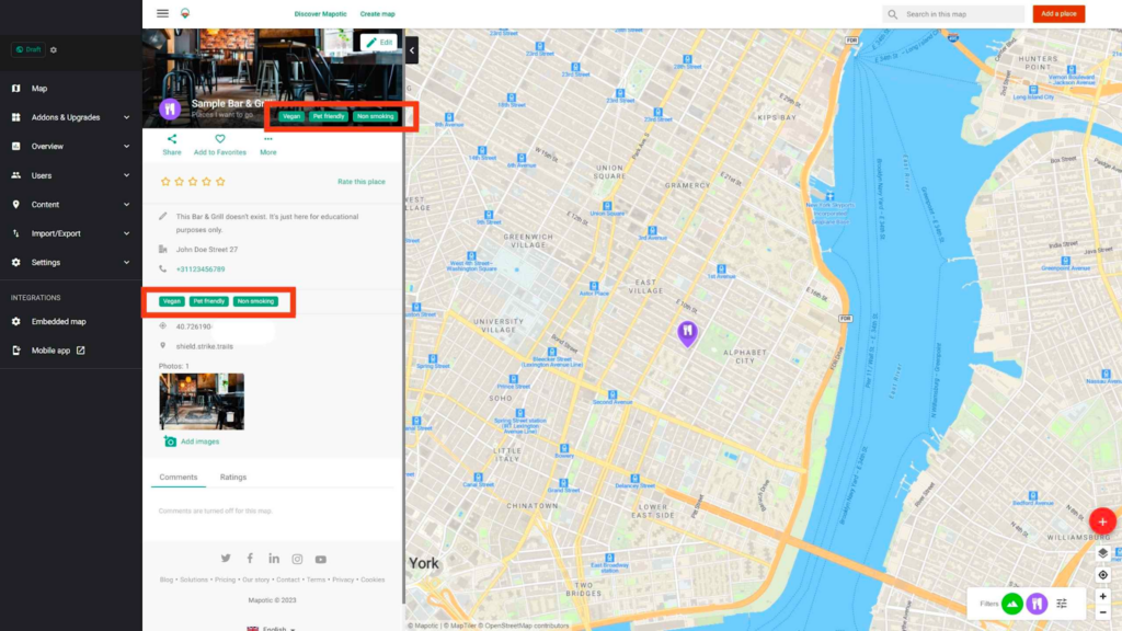
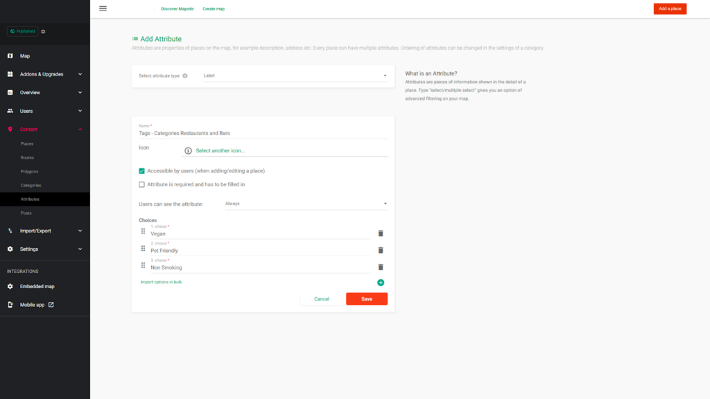
We’ve added a new data attribute type: Labels – choice attributes also display as a colorful “chip” on the web or mobile app frontend. This makes objects with a label attribute assigned easily distinguishable.
Labels automatically create an advanced filter to your map, which enhances user experience for your visitors. The Labels feature is available from the PRO plan and above.
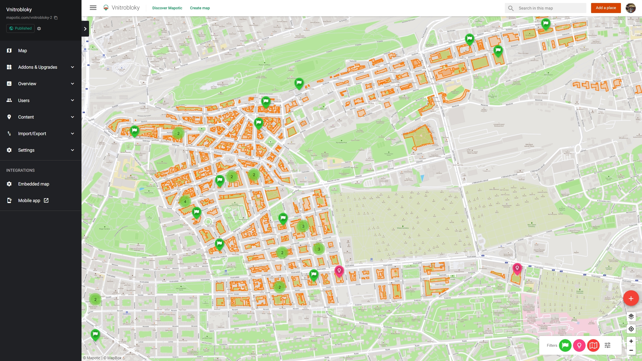
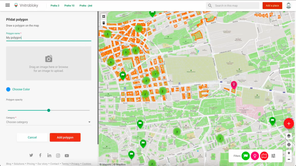
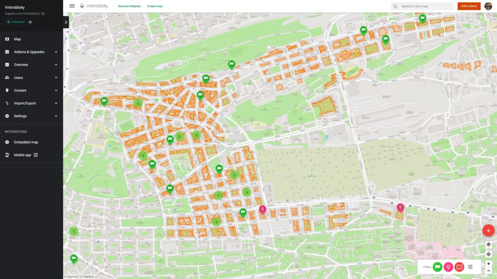
Mapotic’s new polygons feature empowers you to create more dynamic and detailed maps by adding complex shapes to your creations. Whether you’re mapping the area of an event, delineating parking zones, or showcasing any other area-based data, polygons provide a precise and flexible solution.
Polygons are now available to all Mapotic users, regardless of your plan. Simply hover over the “+” icon on your map’s homepage and select the shape icon to add polygons with ease.
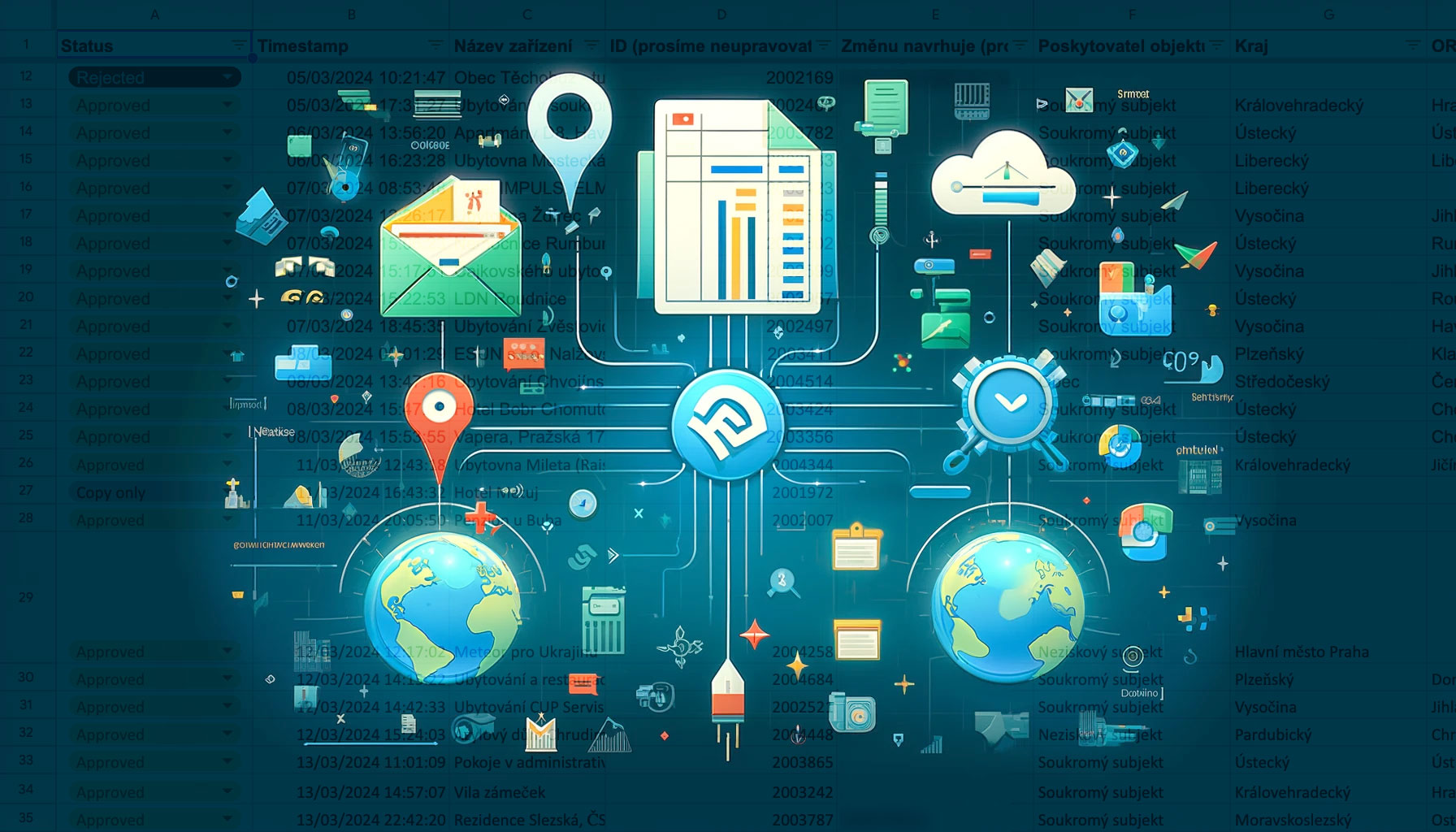
The Bieno association, a non-profit organization dedicated to revitalizing green spaces in Prague, utilized polygons to map areas in the city center. Their map showcases the ability to add rich content such as images, custom attributes, and videos to enhance polygon details.
While bulk import of polygons is not yet fully supported, we’re working on improvements to the import tool that will include polygon import capabilities. Stay tuned for updates!
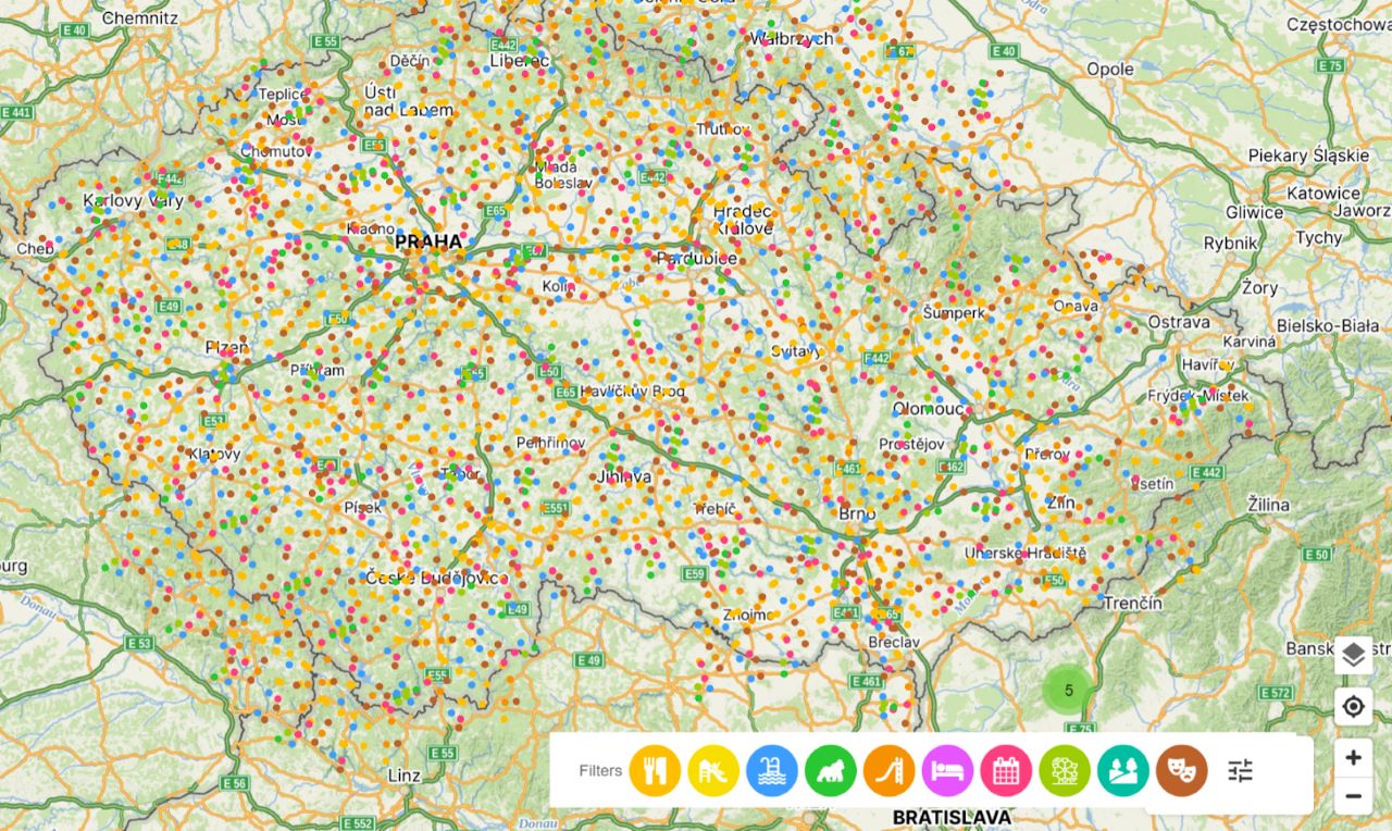
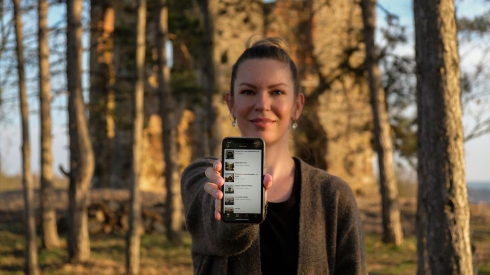
Mapotic is a smart, free map making tool that can get your map project up and running in minutes. It can be used to create an intuitive map in minutes, as well as complex Live Data Maps with the possibility of a mobile app.
Want a demo or consultation? Contact us. Create your map now

Continuously updated data displayed on a map saves drivers time…

The Fandimat project used Mapotic smart maps to connect people…
Mapotic helps bring together hundreds of thousands of enthusiastic travelers…

Develop web or mobile tourism apps with updated, relevant datasets that inspire and offer unique experiences.

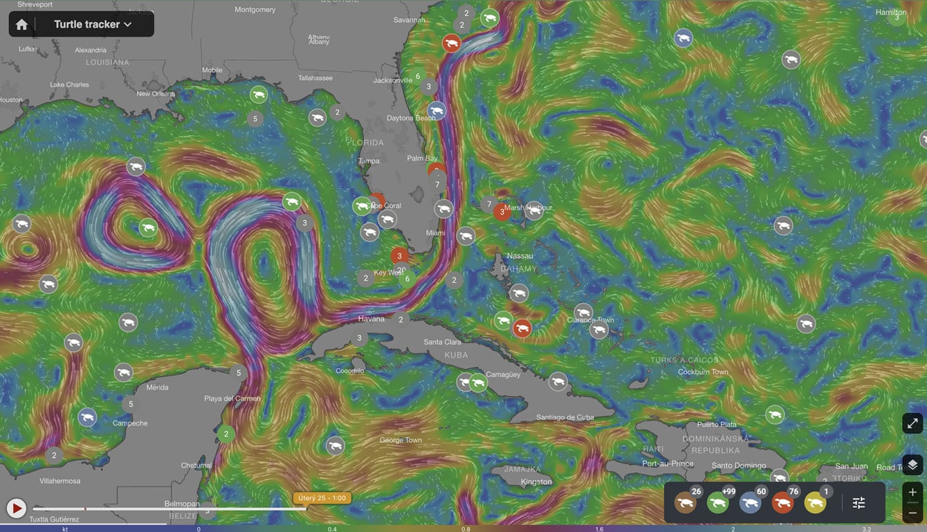
Support wildlife exploration and protection by providing wildlife tracking systems and tracker apps
Drive environmental projects with our technology, merging data visualization and technology to balance human and nature interactions.

Build social impact projects to connect those in need with helpful resources, meaningful aid & community support.
Improve quality of life in public spaces through smart city development and active citizen feedback

Bridge people with shared missions through collaborative and community centered interactions