OCEARCH Shark Tracker
OCEARCH operates the world’s largest system for real-time tracking and visualization of sharks and other marine animals.
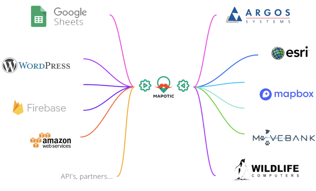
Connect and aggregate location data from any database, API, or provider. Set periodic tasks and data processing rules that match your project needs and aggregate multiple data sources into unified visualizations. Mapotic works with all standardized data structures, such as JSON, XML, CSV, and more.
Tracking and location datasets can be easily connected to external data streams and open datasets. You can link your location data with related information, such as environmental conditions and sensor data. Or, plug in freely available data content provided by the state government, NGOs, volunteers, and thousands of sources available online by open source or crowdsourcing projects.
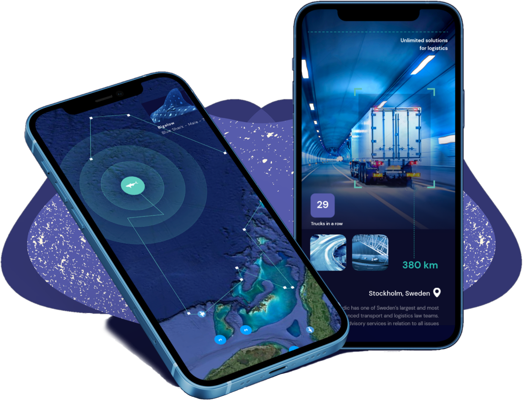
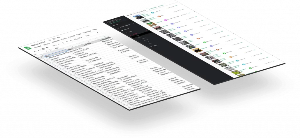
Change location data to useful information and provide your end users and decision makers with the big picture, a detailed data breakdown, or with non-geospatial content. Our back office has an easy-to-use CMS that enables you to link to location or movement data with additional rich content and meta information. It can be anything from scientific field notes, to partner datasets, or to photos and videos.
After your data processing is set up, you can fully dedicate your attention to visualizations and build location data-driven outputs for your target audience. Any piece of information can be easily visualized in your existing website or mobile application. Or, build one from scratch with one of our products.





OCEARCH operates the world’s largest system for real-time tracking and visualization of sharks and other marine animals.
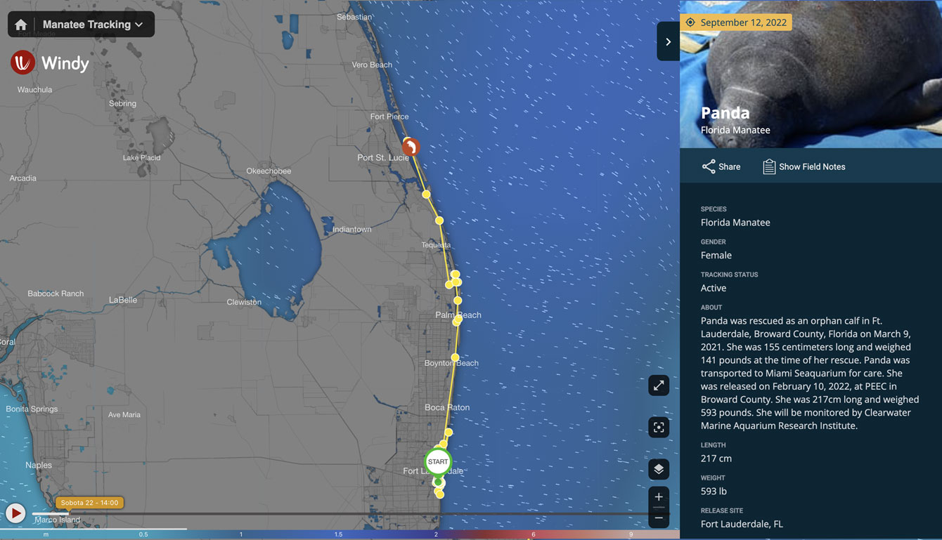
Fahlo increases their sales and supports non-profits through interactive animal tracking
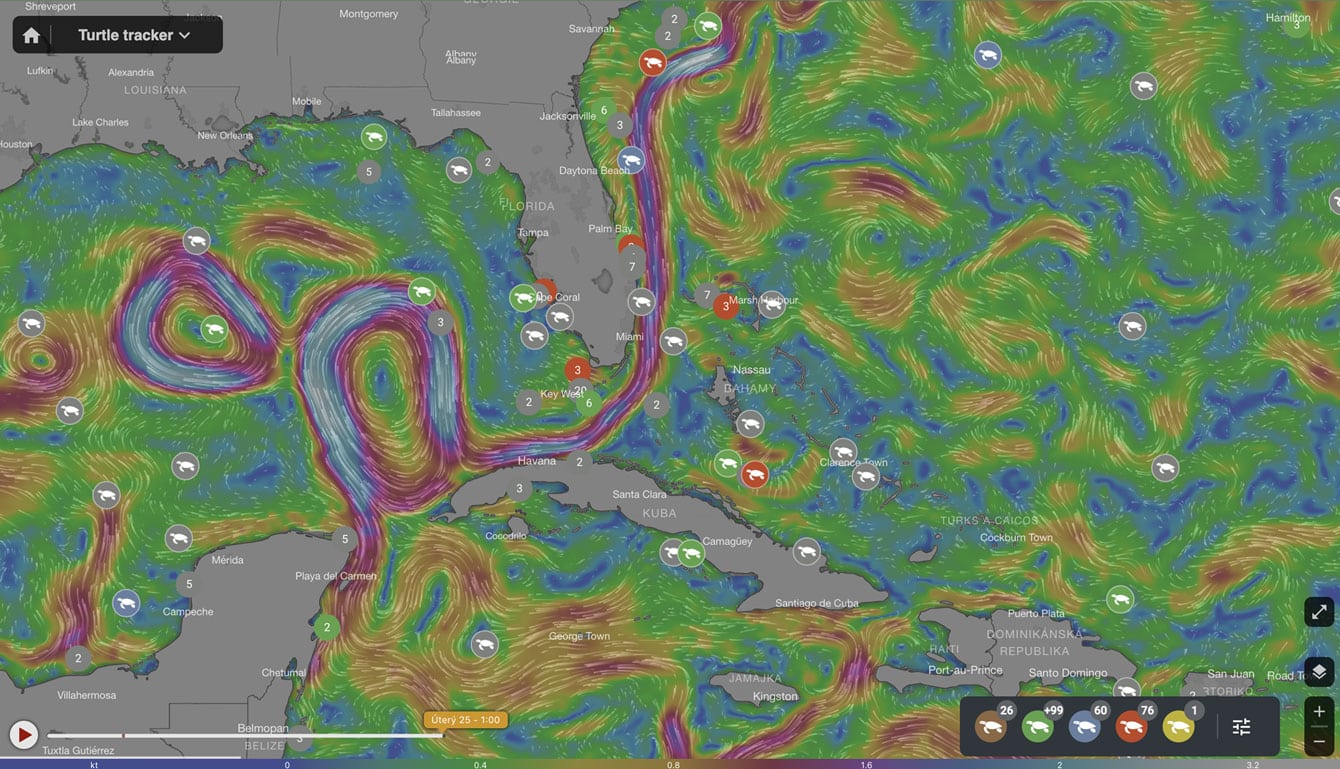
Sea Turtle Conservancy uses Mapotic to track the movement of sea turtles
Get things done in a matter of hours (small projects) or weeks (extensive projects)
Extend your content with external data sources open dagital
Combine geolocation and animal tracking data with non-geolocation information
Group objects and adjust map outputs to your structure advanced filters
Your dynamic wildlife tracking data can be used for your own standalone pre-built mobile app.
Start on lower levels and pay for what you really use.