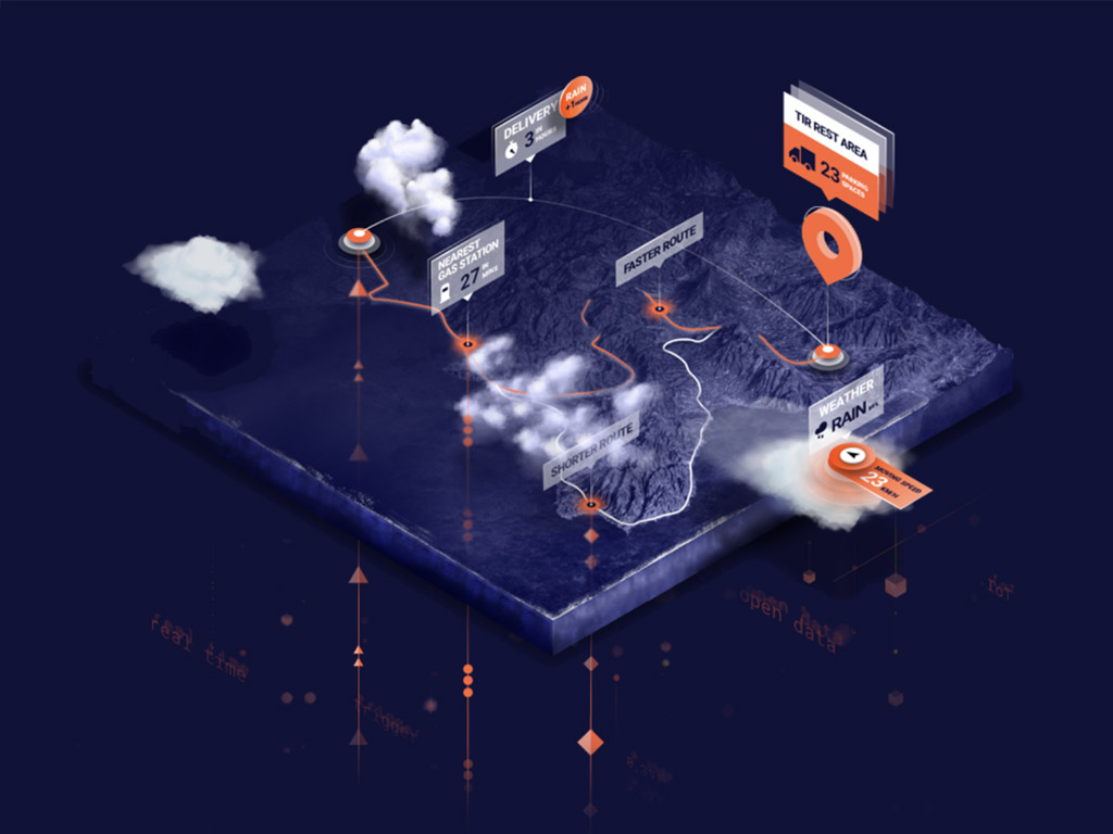
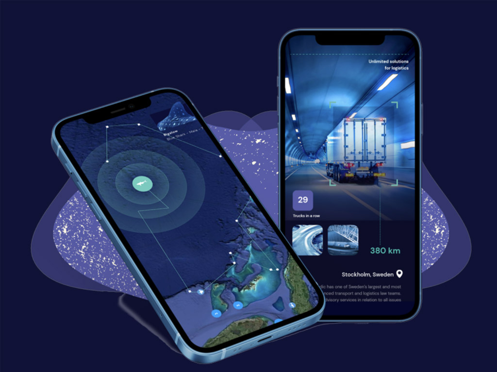
Turn your telemetry, GPS, and movement data into stunning live map visualizations. Customized, easy embedding, and rapid time to market.
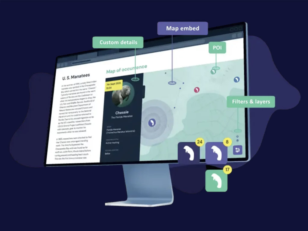
Create content-rich maps with interactive features that your users will love. Free forever in our basic version.
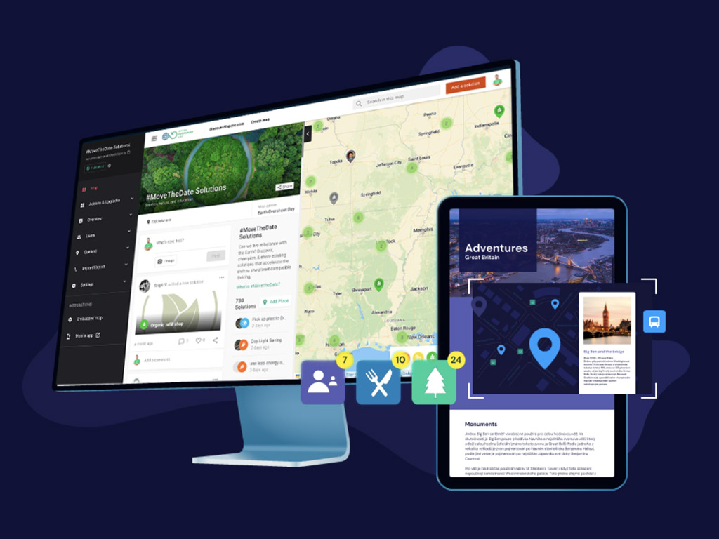
Save your management and IT resources via location data automation. Our low-code approach allows for quick delivery and scaling.
Launch a map-based Android & iOS app for your project in weeks. Adjustable branding, social features, and remote data management.