

Process and visualize your wildlife tracking data with ease
Plug in your wildlife tracking data and easily build web or mobile wildlife tracking app. Let the animals lead the way.
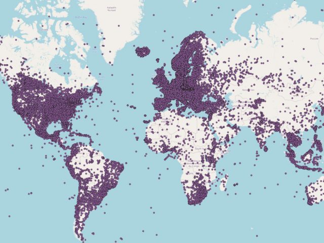
Effortlessly connect your movement data and visualize it on interactive wildlife tracking map
Instantaneously bring your wildlife tracking data to life with customized solutions for Argos, Movebank, Wildlife Computers, and more.
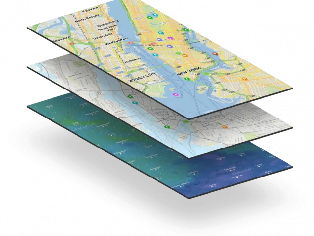
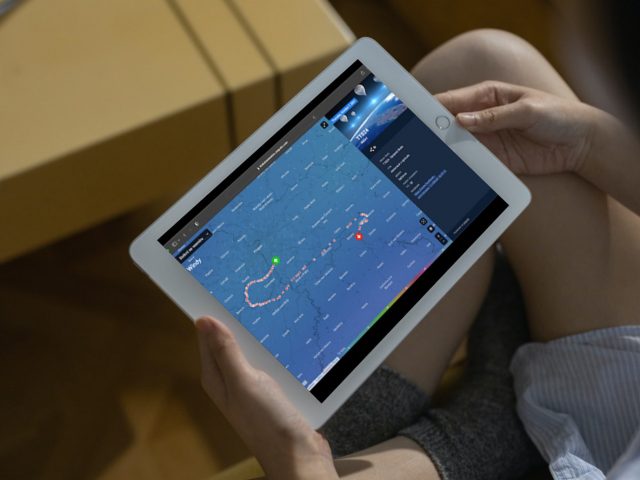
Bring enganging wildlife data visualisation to your audience quickly and affordably with pre-built solutions (see our Live Data Maps product). You can enrich your animal tracking data with additional information by connecting to external sources, such as ESRI or Google Sheets with GPS data automation. This allows you to display no only movement data but also interesting information like sea currents, winds, or historical weather values. If the animal tracking data is sensitive, we can also display it with a selected delay, or randomize its location within a desired radius.
Wildlife tracking system as a tool for public education
Mapotic can visualize tracking data in an interactive and unique way and you can create more impact
Animal species are disappearing at a frightening rate. That’s why there’s no time to put off projects that will help research and increase public interest. We offer you a ready to use wildlife tracking solution that can process data from different sources and display it exactly the way you need it – for example, in a mobile app or an embedded map on the web.
Make an Impact
Enhance your fundraising efforts with an interactive wildlife tracking system: engage users and deliver an immersive mapping experience
Make your data useful for scientists
Provide tailored data to eager students and researchers
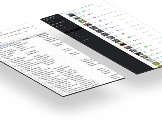
We provide you with straightforward and intuitive wildlife tracking solutions for seamless access to requested information
Our apps are designed to make it easy for professionals to get the data they need for their work (check out our Mobile Wildlife Tracking App or Live Data Maps product). In addition, we can display data within the context of map layers that illustrate the animal environment (e.g. Windy.com), or enrich the data with information from external sources (e.g. historical weather readings).
Expand your fundraising with new tools
Expand your fundraising with modern tools
Showing animal life up close motivates your donors and sponsors to contribute more
Open up new fundraising opportunities with a mobile or web app that supports conversion events, donation features, smart sponsorship, or linking to your CRM – check out our Mobile App which can be turned into wildlife tracker app or Live Data Maps product for wildlife tracking solutions. Interactivity makes users more deeply connected to your animals, more loyal, and more willing to contribute to your mission. You also get more information about your users that you can use for communication and marketing tools.
SAVE RESOURCES AND SUPPORT PARTICIPATION
Choose cost-effective solutions and provide data to your partners with ease
Get an advantage of top quality open-source base maps and customizable open data outputs
- Optimise resources associated with running your application by leveraging open source map data
- Low down the cost of third-party server processing services.
- You can also take advantage of attractive data layers from ESRI or Windy.com.
- Our solutions are suitable for small interest groups as well as large organizations.
- You can also communicate with partner projects using our API. Open data support is a matter of course.
WILDLIFE TRACKING
Choose cost-effective solutions and share data with your partners
Optimize map tile costs
Decrease cloud services costs
Plug in external data
Share it with researchers
Build branded wildlife tracking app
Scale as you grow
Get Inspired
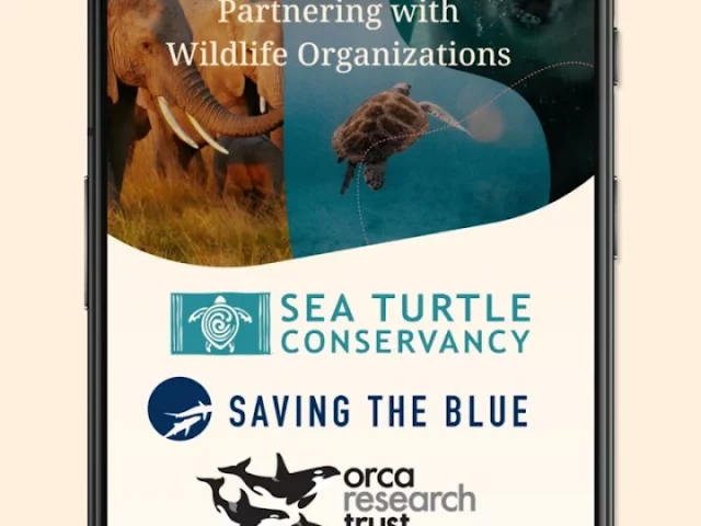
Get inspired by globally respected organizations that have already built a wildlife tracking solution on Mapotic
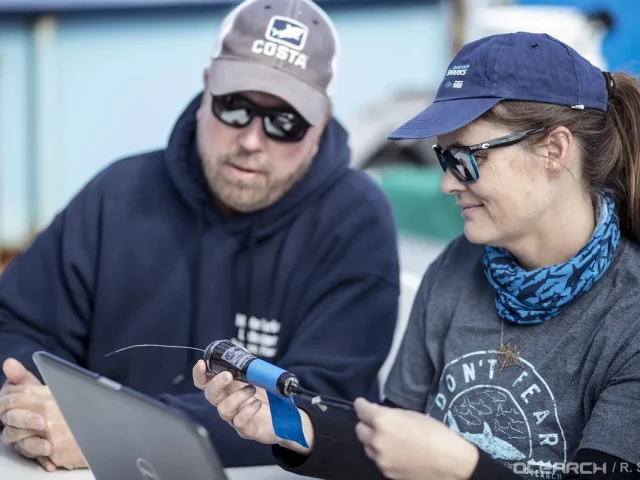
Tracking the movements of sharks is helping scientists restore the lost balance in the ocean.