


Use climate change maps to visualize changes in the environment
Present crowdsourced data that engages partners to expand awareness and impact the masses
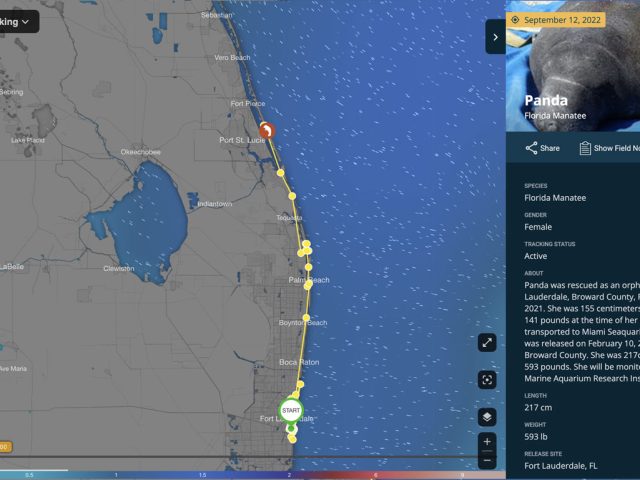
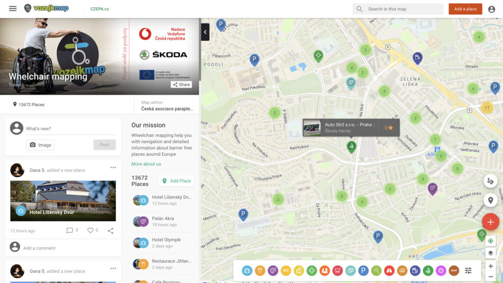
Crowdsourced map visualizations work as a great tool for monitoring and displaying changes in our environment. You can easily link Mapotic to existing systems, import geographic data automatically to track the progress of changes, visualize projects, and unite people and organizations around specific themes. All in an easy-to-use, attractive format with a variety of mapping documents and features that engage users and project partners. Our product is ready for seamless integration with your website, existing applications, or as a standalone project that can be launched in a short amount of time.
Transform sensor data into easy-to-understand ESG maps
Mapotic helps you process and visualize data from IoT, sensors, and any external sources in maps
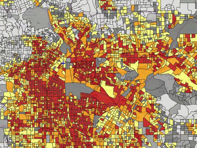
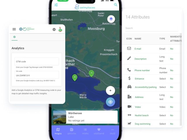
Thanks to the development of IoT devices and mapping applications, most dynamic information can be displayed in maps. With Mapotic, you can process and aggregate data from many sensors or external data sources to create impressive climate change map visualizations that work with data that is being constantly updated. Thanks to the flexibility of map documents, you can then combine your own data with, for example, weather data, such as cloud visualizations, sea currents, etc. You can enrich the data with meta information such as text, videos, and photos. Filters allow you to sort and filter the data, visualize real time data, and historical data.
Engage the public to gather more data
In addition to visualizations, you can allow people to contribute and interact with content
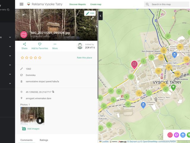
Our maps focus on simplicity and ease of use, which makes it easy for end users to understand the problem. We also allow you to leverage user features and enable people to register to the map and interact with the content. According to your settings, people and organizations can manage their locations, comment, and suggest changes. By engaging people, you can crowdsource new data, or allow people to create their own lists and use your app not just passively, but as an interactive tool.
Environment and Social Governance
Choose cost-effective solutions and share data with your partners
Community Projects
Social Impact
Civic & Government
Incorporate crowdsourced mapping apps in your ESG strategy
Map your organization’s and employees’ impact. Support ecology and sustainability, both locally and globally.
Crowdsourced mapping apps are perfect to use either as a main pillar, or as part of ESG (Environmental, Social, and Governance) projects. For example, you can create map outputs with visualizations of your own geographic data, or build a system where you allow people or employees to map sustainable projects.
Platform benefits
What choosing Mapotic brings you
Simplicity
No GIS knowledge or data expertise required to build amazing apps or create free custom maps
User engagement
Unlike existing mapping platforms, Mapotic focuses on end user target audience
Data aggregation
Merging various data sources into one attractive and easy-to-understand output
Integration
Built with integration and synchronization to existing systems and products in mind
Unique content
Mapotic can offer hundreds of thousands of location data points
Mobile apps
Besides web outputs, clients can easily build their own branded maps mobile app
Get Inspired
Get inspired by globally respected organizations that have already joined Mapotic