Harness the potential and clarity of maps to help those in need
Create clear, user-focused maps to help disadvantaged groups and disseminate important information
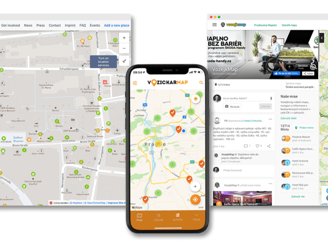
Unlike other solutions, Mapotic maps are created to serve socially beneficial projects. Hundreds of non-profit organizations and projects that help those in need and need to raise visibility for important issues use our web and mobile apps to achieve their mission. Try Mapotic and see just how much emphasis is placed on ease of use for administrators and users, collaborative features, crowdsourced mapping, and ease of interfacing with other projects.
Build social or environmental projects, support minorities, and connect communities
Give the community a new dimension to share, communicate, and increase impact
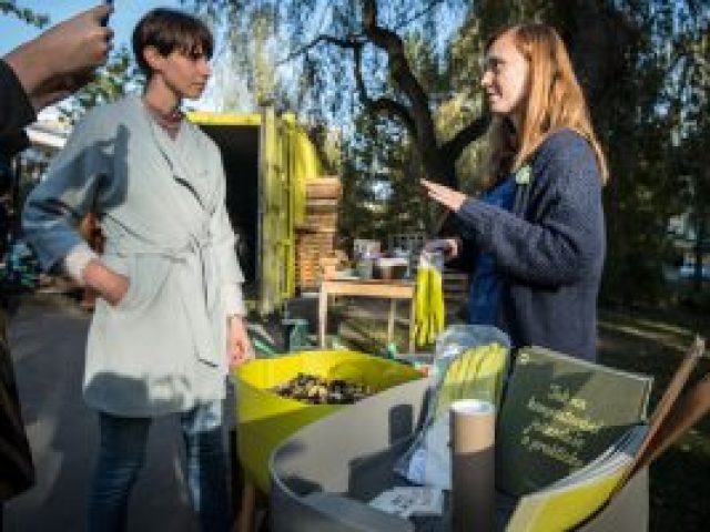
In addition to the usual mapping features, we’ve added many tools to Mapotic that are tailored for communities and people collaborating on a specific topic. The map manager thus creates a structure and categorization of content set up precisely for a given purpose and target group. From mapping outdoor bathing spots, to live visualization of eco-farms, to engaging people in revitalizing courtyards, to crowdsourcing wheelchair accessible places. It’s up to you to decide how you use Mapotic for your own tribe.

Connect those who need help with those who offer it
The map view works great for matching supply with demand, whether it's for physical products or for services
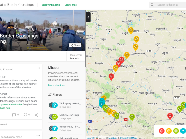
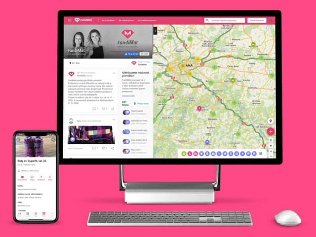
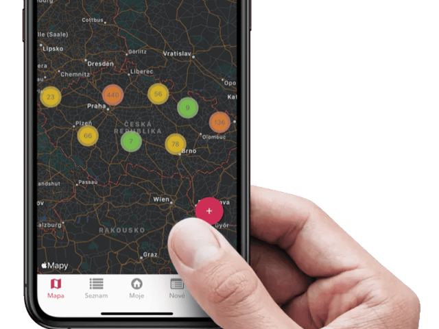
Maps have proven many times to be a great tool for connecting people and organizations, whether it’s for emergency situations where a quick response is needed, or projects aimed at long-term assistance. With Mapotic, you can easily link existing databases and tables to the map or create new ones – and display your service, product or aid offering in the context of the map. Those who need help can easily find what they need – or who they need. Not just geographically, but by filtering through more content.
Environment and Social Governance
Check out some other related solutions
Environment & Sustanibility
Community Projects
Civic & Government
Encourage users to participate in your ESG strategy data
Use collaborative mapping to capture and manage unique and constantly updated data
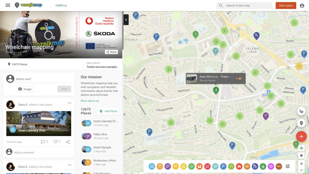
In addition to displaying information, our maps are built so that users can crowdsource and engage with the content. As a map administrator, you set the level of collaboration allowed. You can choose whether people can only comment or suggest places, or you can make them co-creators. Both at the management level of specific places and the entire map content. Additionally, notifications are included, you can approve or reject changes or suggestions for new places, and you can enable users to communicate and send messages to each other.
Platform benefits
What choosing Mapotic brings you
Simplicity
No GIS knowledge or data expertise required to build amazing apps or create free custom maps
User engagement
Unlike existing mapping platforms, Mapotic focuses on end user target audience
Data aggregation
Merging various data sources into one attractive and easy-to-understand output
Integration
Built with integration and synchronization to existing systems and products in mind
Unique content
Mapotic can offer hundreds of thousands of location data points
Mobile apps
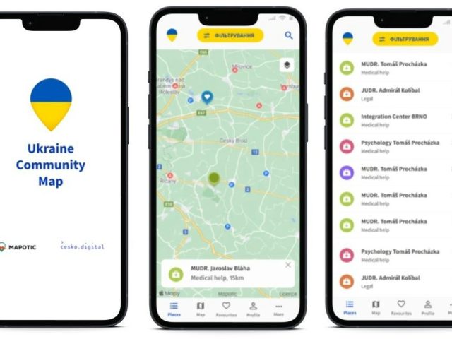
Besides web outputs, clients can easily build their own branded maps mobile app
Get Inspired
Get inspired by globally respected organizations that have already joined Mapotic
