Home » Mapotic blog » Unlocking the Potential of Geospatial Data Visualization with Mapotic Live Data Maps
Unveil the transformative capabilities of Mapotic Live Data Maps in the realm of geospatial data visualization. Turn complex data into actionable insights.
In the era of big data, the ability to visualize and interpret geospatial data is more crucial than ever. Whether you’re in logistics, urban planning, or any field that relies on location-based information, understanding your data can offer a significant edge. This blog post aims to introduce you to Mapotic’s Live Data Maps, a groundbreaking platform that simplifies geospatial visualization and opens doors to countless opportunities.
Data visualization is not just a fancy term; it’s a necessity. Businesses and organizations are increasingly leaning on geospatial data to make informed decisions. Geospatial visualization serves as the bridge between complex data sets and actionable insights
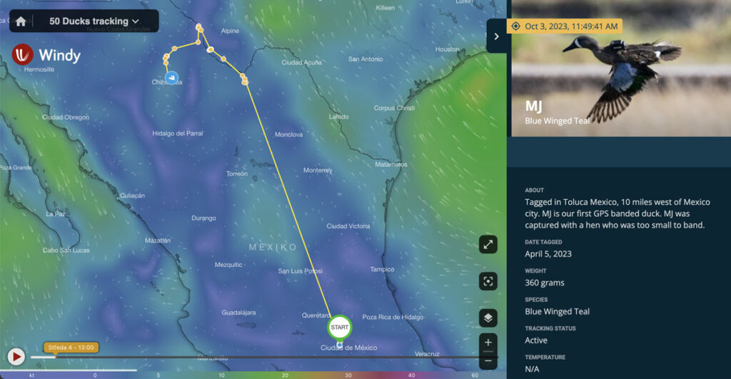
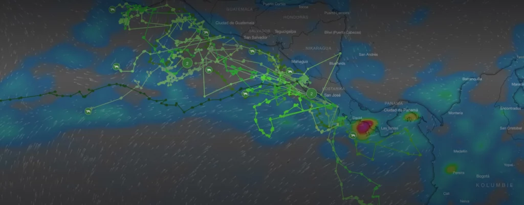
Mapotic offers Live Data Maps that turn your telemetry, GPS, and movement data into stunning visualizations. It’s more than just maps; it’s about automation, customization, and rapid time-to-market.
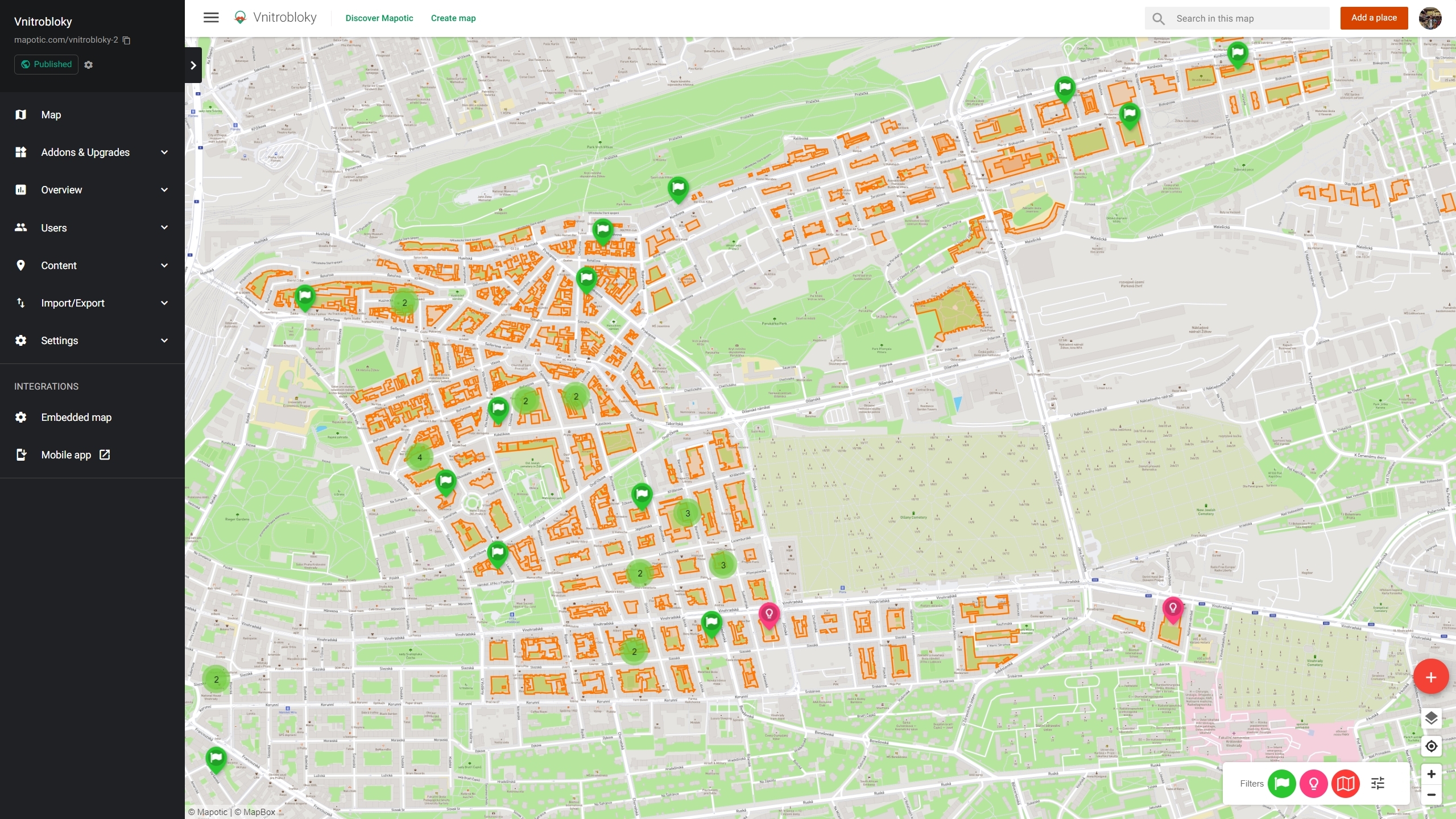
Mapotic Live Data Maps come with an easy-to-use interface that allows you to effortlessly upload your GPS and tracking data.
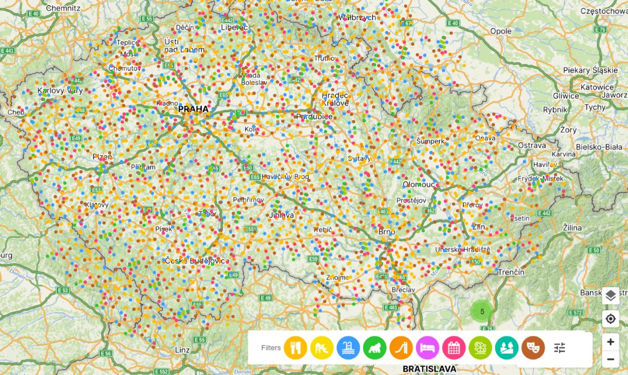
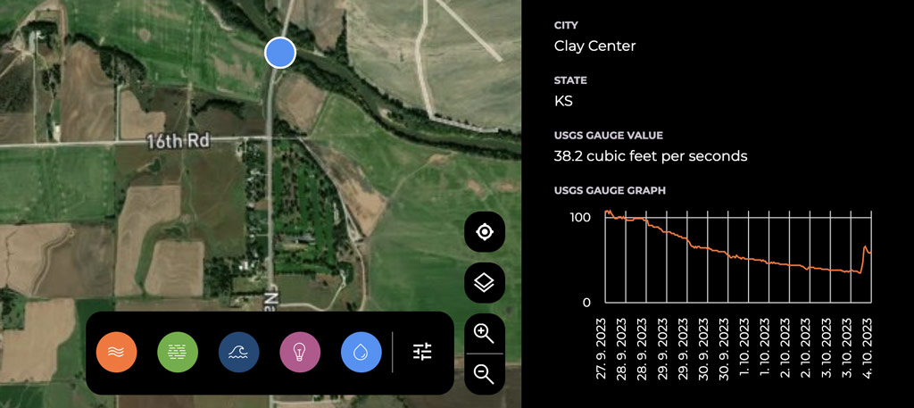
The platform supports the integration of tracking and GPS data with other map or non-map layers. Imagine combining your route data with real-time weather information or editorial content to provide a more comprehensive view.
By aggregating diverse data layers, you can create compelling visualizations that not only serve your analytical needs but also engage your users more effectively.
An engaging map can be an excellent tool for non-profits seeking donations or businesses looking to monetize. Mapotic Live Data Maps give you the foundation to build upon these opportunities.
Starting with Mapotic’s Live Data Maps is seamless. Visit our Live Data Maps product page to request a demo and discover the full spectrum of what we offer
Mapotic Live Data Maps offer a versatile platform for anyone looking to enhance their geospatial data visualization projects. With features that support data aggregation and user engagement, it’s more than just a mapping tool – it’s a comprehensive solution for your geo data visualization needs.
Have questions or need expert advice on your geospatial data visualization project? Our team of seasoned geospatial professionals is just a message away and would be thrilled to consult with you on how to best utilize Mapotic Live Data Maps for your specific needs.
Whether you’re looking to integrate multiple data layers, enhance user engagement, or explore monetization opportunities, we’re here to help guide you every step of the way. Don’t miss out on unlocking the full potential of your data; reach out to us today to schedule a personalized consultation.
Ready to transform your geospatial vision into reality? Contact us at [email protected] now to get started!

MOTION TRACKING With the Slovak Tatra National Park, we built…

Helping hundreds of students discover the frontiers of the cosmos.

Mapotic helps bring together hundreds of thousands of enthusiastic travelers…

Develop web or mobile tourism apps with updated, relevant datasets that inspire and offer unique experiences.

Support wildlife exploration and protection by providing wildlife tracking systems and tracker apps
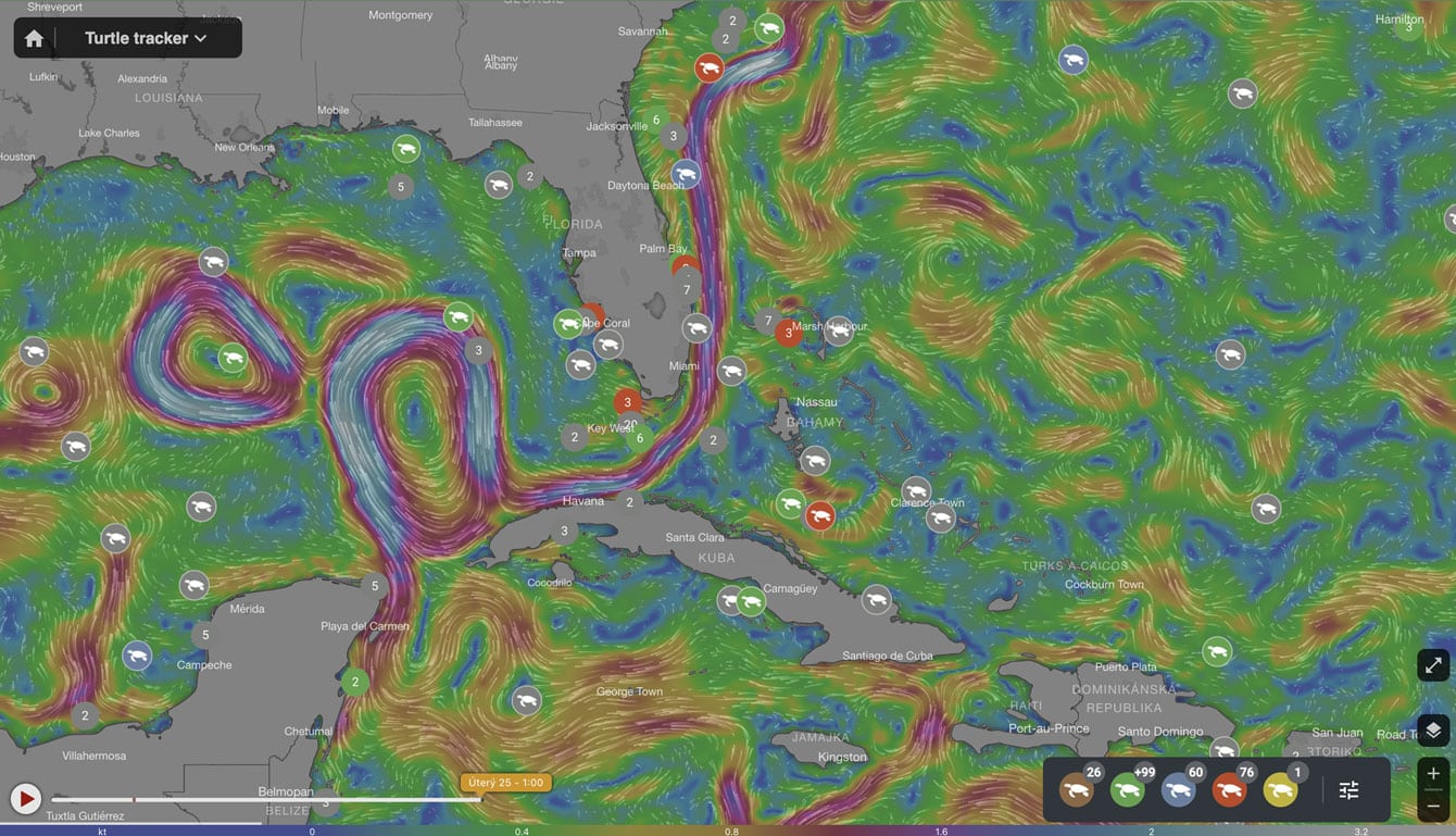
Drive environmental projects with our technology, merging data visualization and technology to balance human and nature interactions.

Build social impact projects to connect those in need with helpful resources, meaningful aid & community support.
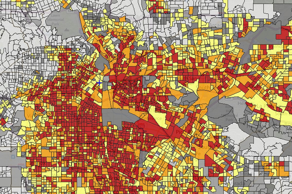
Improve quality of life in public spaces through smart city development and active citizen feedback

Bridge people with shared missions through collaborative and community centered interactions