In October 2023, Mapotic was selected as one of the projects to be supported under the wings of the European Space Agency (ESA BIC Prague).
Maps and data from space
Digital cartography, maps and location data are not as far removed from space technologies as one might think. In our projects that focus on aggregating location data from multiple channels, we often use data that is directly or indirectly acquired or transmitted by satellites. IoT sensors are increasingly being used for global network transmission, as we wrote in the article on wildlife tracking technology earlier this year.
Other providers of satellite layers as a basis for your data
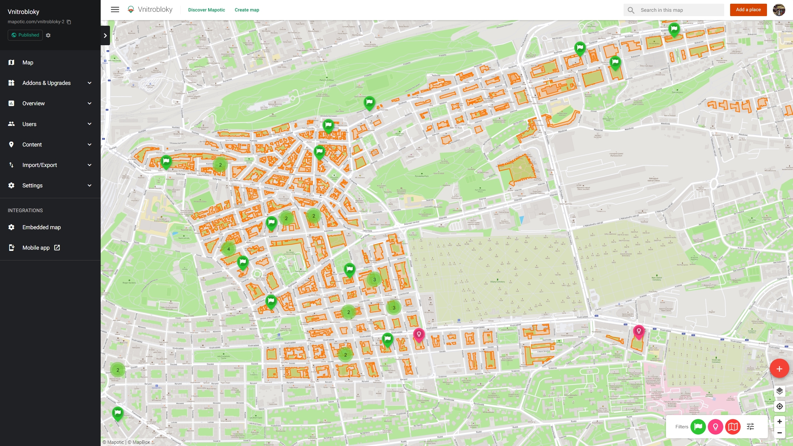
As we are constantly working to improve the platform and develop the ability to work with live data on top of maps, we want to use the partnership with ESA primarily to explore in more depth the possibilities and features that we could incorporate into our map builder or live data maps.
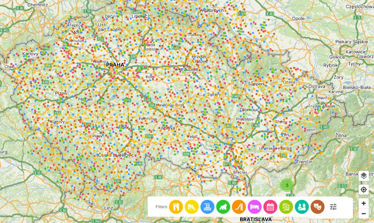
It could be the expansion of map providers with global services, such as leaders in map material and satellite data, which would provide more detailed and up-to-date aerial maps for specific projects, or expand our ability to work with weather maps. Today we mainly use MapTiler (ESA BIC alumni), Windy or OpenWeatherMaps or Mapbox, but as part of the ESA BIC incubation programme we want to explore the expansion of other services such as Planet.com or AstroCast, which are ESA partner organizations.
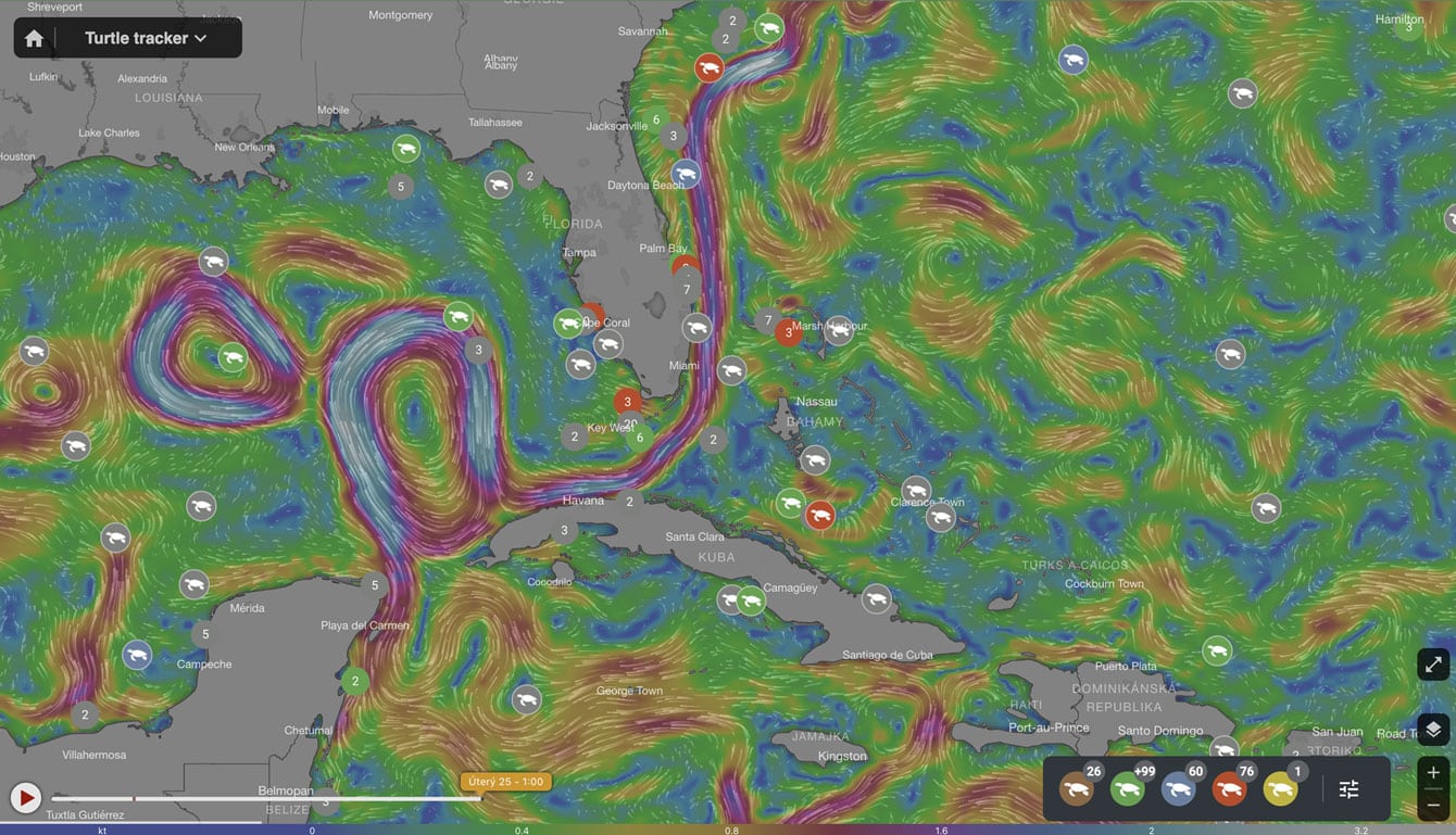
Networks for global IoT connectivity and real-time display of sensory data
Over the past year, Mapotic has launched several projects that use battery-powered IoT devices to collect data and transmit it either via local networks or via satellite service providers. A typical provider is the French company Argos, which has been operating a satellite constellation for over 20 years and is a major provider for tracking animals or things in the wild. Kinéis is a new project and there is also talk of connectivity via Star link. From our point of view as a mapping application platform provider, these are great opportunities to integrate and extend the capabilities of our map builder or live data maps platform so that it can offer a wider range of capabilities to its users, aggregating and visualizing location data in new ways and in new contexts, thus delivering greater value to application operators and especially to end users.
ESA BIC incubation under CzechInvest
As part of the ESA BIC, we are looking forward to workshops and a deeper insight into space technologies, as well as feedback and mentors from the Czech Republic and across the EU. And thanks to CzechInvest for supporting the incubation.
Build your own map application with Mapotic
Do you have a project or data that you would like to see in the context of weather maps, or do you need to visualize sensory data on maps? Are you dealing with dynamic visualizations of live data or counting people outdoors? We’ve already done a few map projects and we’d love to hear yours, don’t hesitate to get in touch.
Found inaccuracies or want to add to the article? Write to [email protected].