Home » Mapotic blog » Enhanced map making: add labels to markers in your custom map
We’ve added some new features to give map administrators more superpowers to make creating custom maps even more enjoyable.
Discover the latest additions to our map administration interface that bring added versatility to map administrators. These new features, available both in our free map builder and select premium plans, aim to enhance the map-building experience. In this blog post, we’ll take a closer look at these updates, offering you a glimpse into how they can elevate your custom map projects.
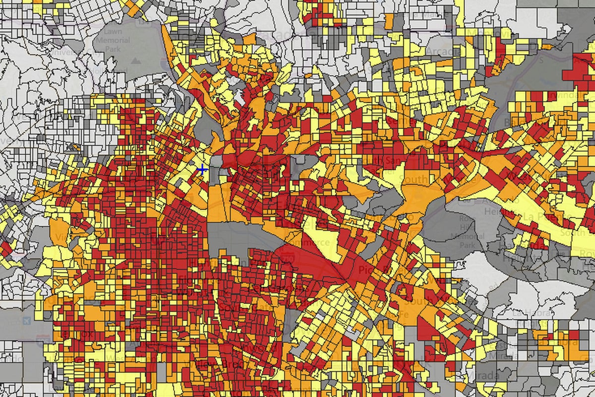
Mapotic’s Map Builder is well-regarded for its exceptional flexibility and robust custom fields and data layers features. Map administrators have the tools to construct content structures tailored to their projects, with options including text, numbers, drop-down menus, and multiple-choice fields.
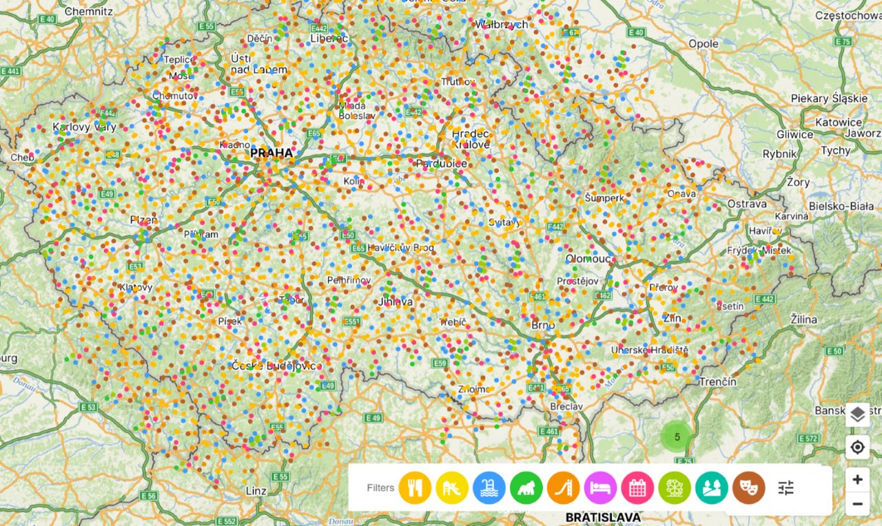
The real advantage here is the automated generation of content filters on the frontend, making it seamless for end-users to navigate and refine map content. This feature proves invaluable when working with custom maps that include thousands or even tens of thousands of points of interest.
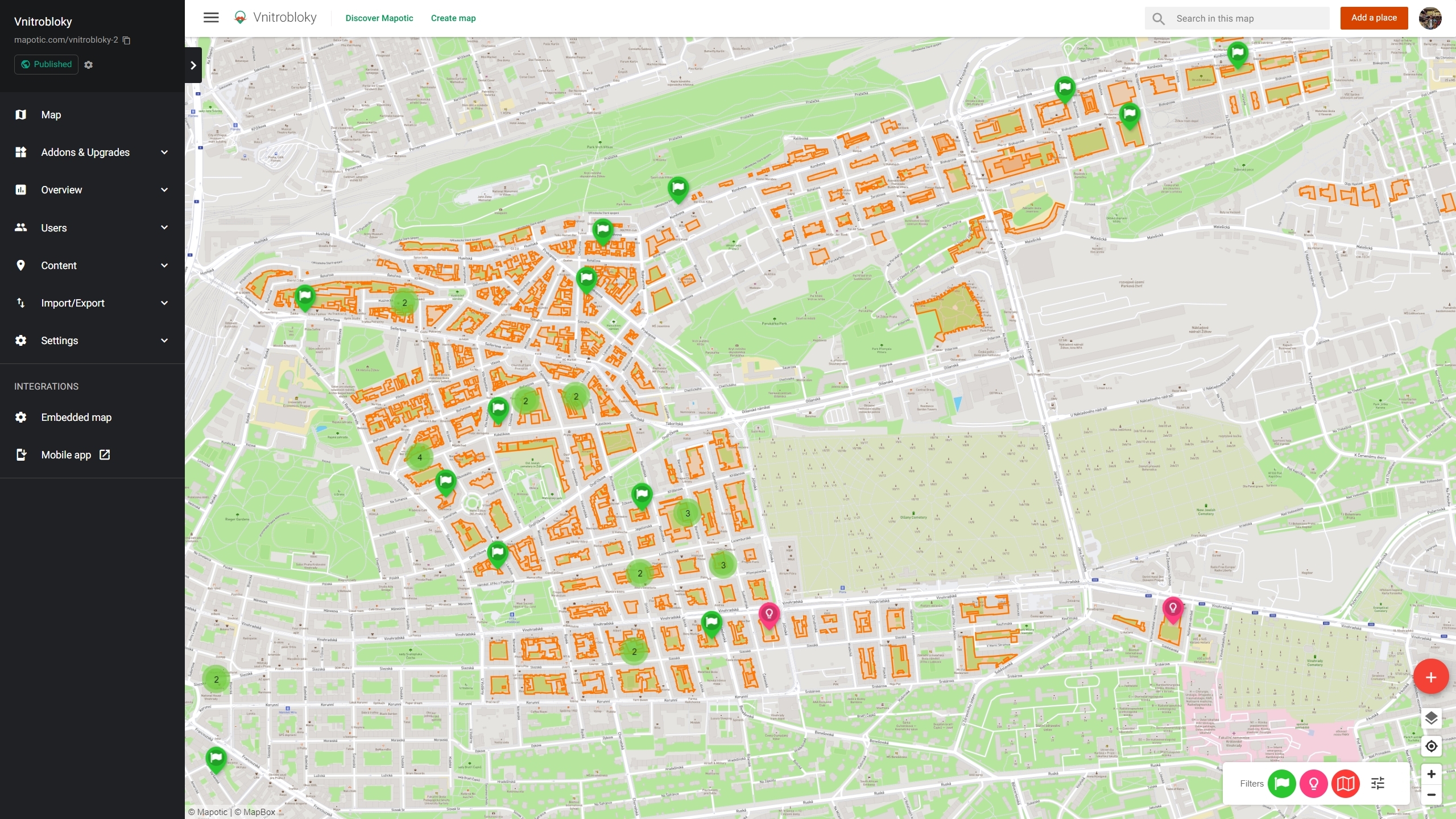
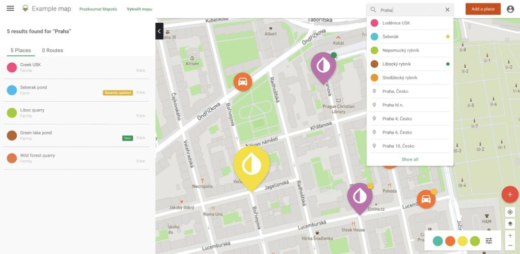
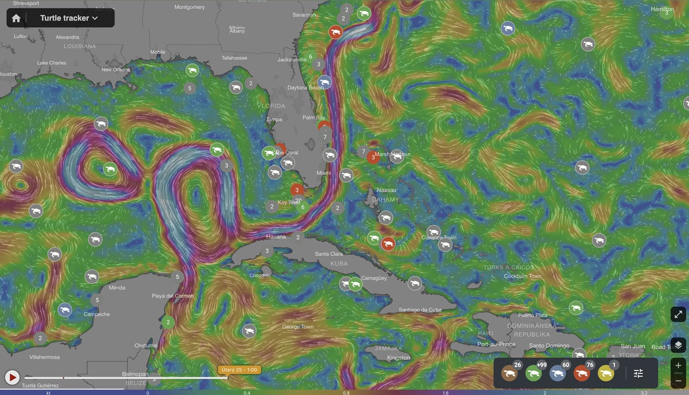
Custom fields, known to map administrators as ‘attributes,’ have long empowered the creation of custom content structures within points of interest, enabling the automatic generation of map filters. However, there are instances where adding visual parameters that extend beyond place details can greatly improve the user experience.
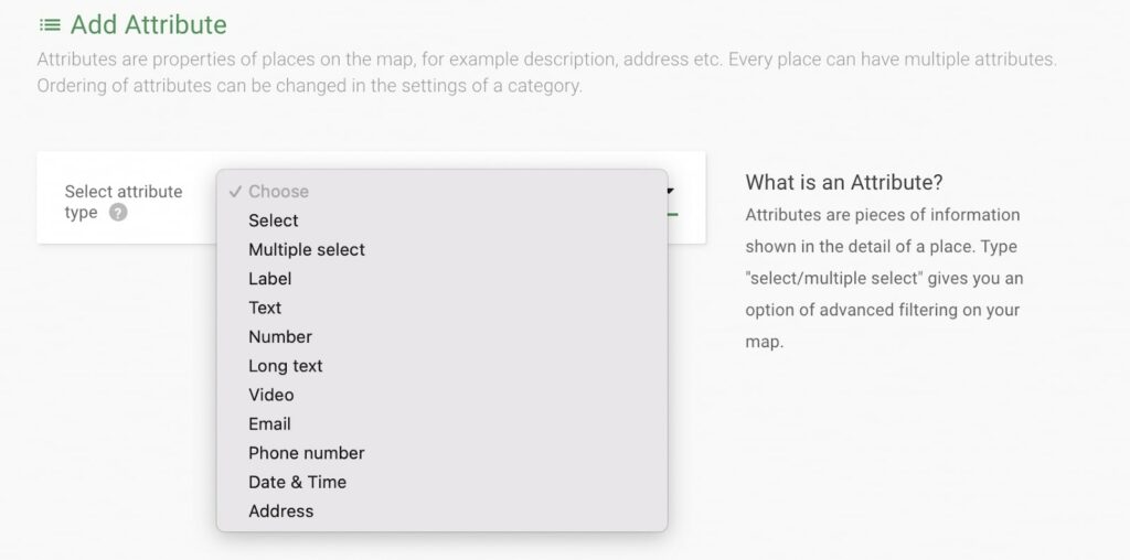
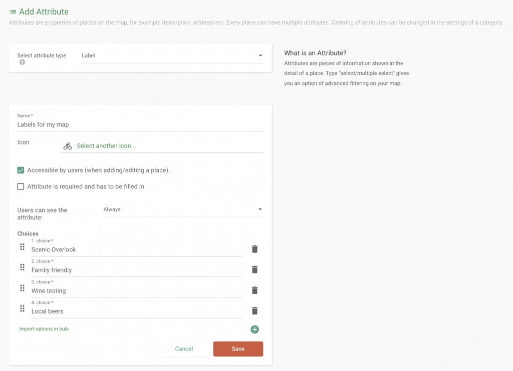
That’s why we’re excited to introduce a new attribute type: labels. With labels, map creators now have the ability to enrich markers with a variety of descriptive labels. Like other attributes, labels are fully customisable—you can assign them any name and include any number of values. This new feature enhances the versatility of map customization and user interaction.
For a more detailed guide on using Labels in Mapotic, check out our helpful article on our portal: Link to Help Article.
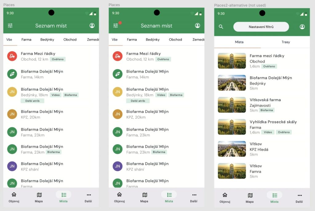
Mapotic’s versatility extends to its map building API, empowering map creators to develop specialized services that automate data processing within their maps. With the capability to apply specific criteria, these automated processes include labeling, which can significantly enhance map functionality. For instance, in maps featuring crowdsourcing, map administrators can automatically label places with newly added YouTube videos, creating labels like ‘Includes video’ to highlight relevant map markers.
Additionally, the Mapotic team is actively developing a feature for automated markers, such as marking places as ‘Recently updated,’ to further streamline map organization and improve user experiences.
Mapotic’s ability to connect map based branded mobile apps to any map project opens up exciting possibilities, and labels play a pivotal role in providing additional customization options and enhancing the user experience for target audiences.
Mapotic is a smart, free map building platform that can get your project out in minutes or build a complex live data maps project with a mobile app in a matter of weeks. Want a demo or consultation? Click here to contact us. Want to create a map right now? Click here.
Found inaccuracies or want to add to the article? Write to [email protected].
Mapotic and Hardwario cooperate to display sensor IoT data in…
Community map MoveTheDate by Global footprint network connects sustainable projects…
MOTION TRACKING With the Slovak Tatra National Park, we built…

Develop web or mobile tourism apps with updated, relevant datasets that inspire and offer unique experiences.

Support wildlife exploration and protection by providing wildlife tracking systems and tracker apps
Drive environmental projects with our technology, merging data visualization and technology to balance human and nature interactions.

Build social impact projects to connect those in need with helpful resources, meaningful aid & community support.
Improve quality of life in public spaces through smart city development and active citizen feedback
Bridge people with shared missions through collaborative and community centered interactions