forest 44 conservation restoration area
st.louis
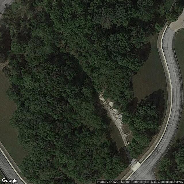
Description: Forest 44 Conservation Area consists of 998 acres in western St. Louis County, Missouri. It is located near the town of Valley Park, Missouri and is bordered to the north by Interstate 44. It is part of the Henry Shaw Ozark Corridor. Forest 44 was once part of a cattle ranch that covered 10,000 acres
Address: 1100 Antire Rd, High Ridge, MO 63049
Website: https://nature.mdc.mo.gov/discover-nature/places/forest-44-ca
Comments
st.louis was created by Free Custom Map Builder that powers thousands of custom online maps.
Want to build own custom map for your business or community? Try Mapotic's custom map maker and create customizable or branded maps in minutes. Leverage filters, custom categories, crowdsourcing and SEO. Create a free custom map.