Columbia Bottom Conservation Area
St. Louis, MO
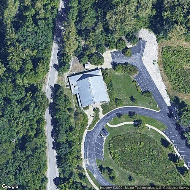
Description: Columbia Bottom CA is an area open to public access that is protected by the Missouri Department of Conservation. It is 4,318 acres and overlooks the confluence of the Mississippi River and Missouri River. It includes plains, riverbanks, forest area, and islands. It is protected from small floods by a levee. It protects many habitats, like prairie, wetlands, and cropland.
Address: 801 Strodtman Rd. St. Louis, MO 63138
Website: https://nature.mdc.mo.gov/discover-nature/places/columbia-bottom-ca
Comments
St. Louis, MO was created by Free Custom Map Builder that powers thousands of custom online maps.
Want to build own custom map for your business or community? Try Mapotic's custom map maker and create customizable or branded maps in minutes. Leverage filters, custom categories, crowdsourcing and SEO. Create a free custom map.