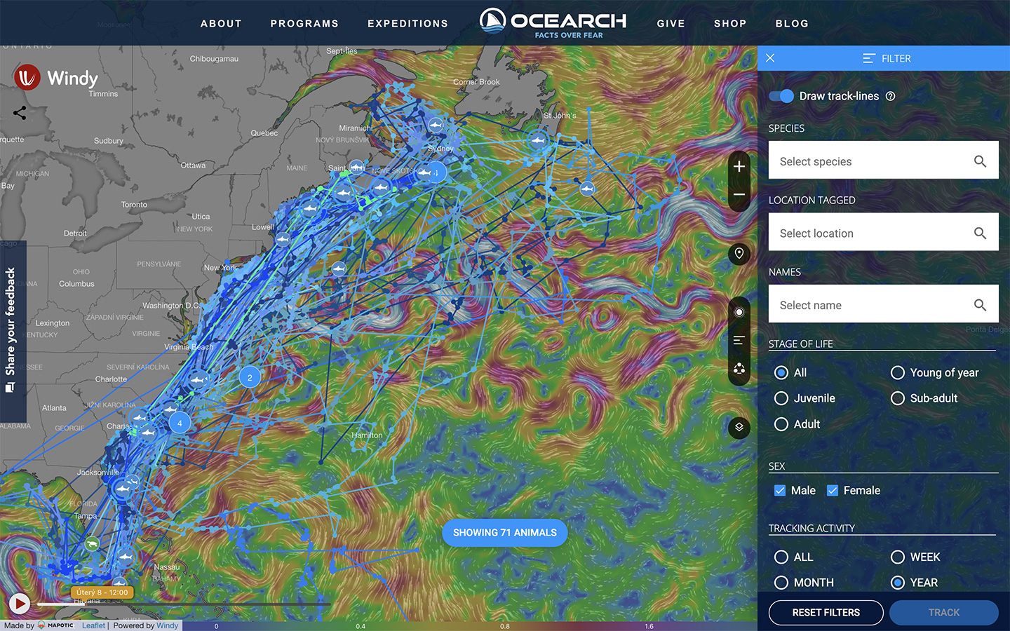
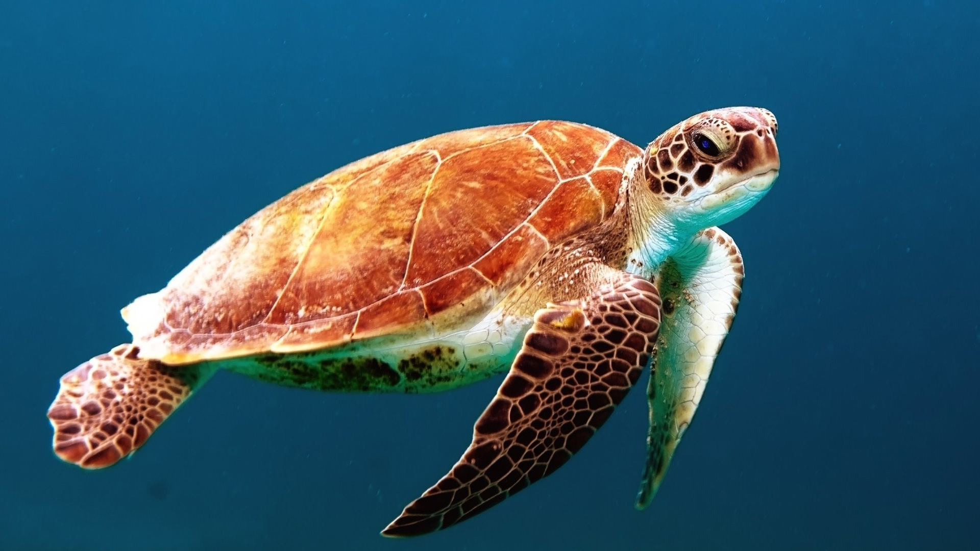
OCEARCH Shark Tracker
OCEARCH operates the world’s largest system for real-time tracking and visualization of sharks and other marine animals.
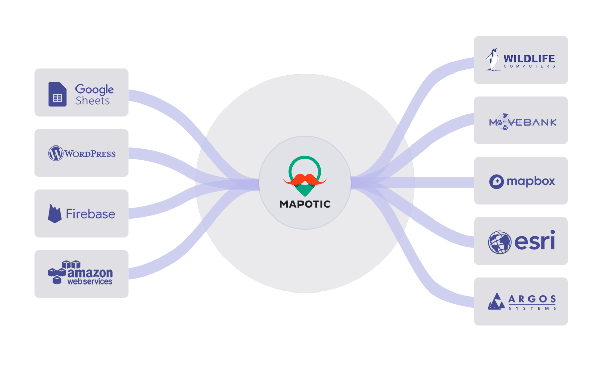
Connect to any API and receive data from various GPS location tracking systems and universal tools, such as Google Sheets (see our Google Sheets integration). Make your telemetry or movement data processing work for you by aggregating multiple data sources into one output. Utilize open data sets, IoT platforms, and global telemetry data providers.
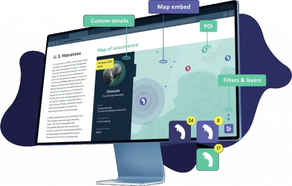
Adjust data layers, categories, icons, and detailed custom fields or attributes to match your needs. Leverage pre-built smart filters and easily customize the app’s look & feel. Add your branding and partner/sponsor logos.
Integrate an interactive map into your website or any browser-based app. Use configuration parameters to adjust outputs, such as content filtering, zoom levels, map layers, and more. Run as an embedded app or as a standalone project on a custom domain.
GPS or movement data visualizations can be integrated in an existing mobile app via API. In addition, we can create and launch your own branded mobile app for Android and iOS. Read more at Mobile Apps.

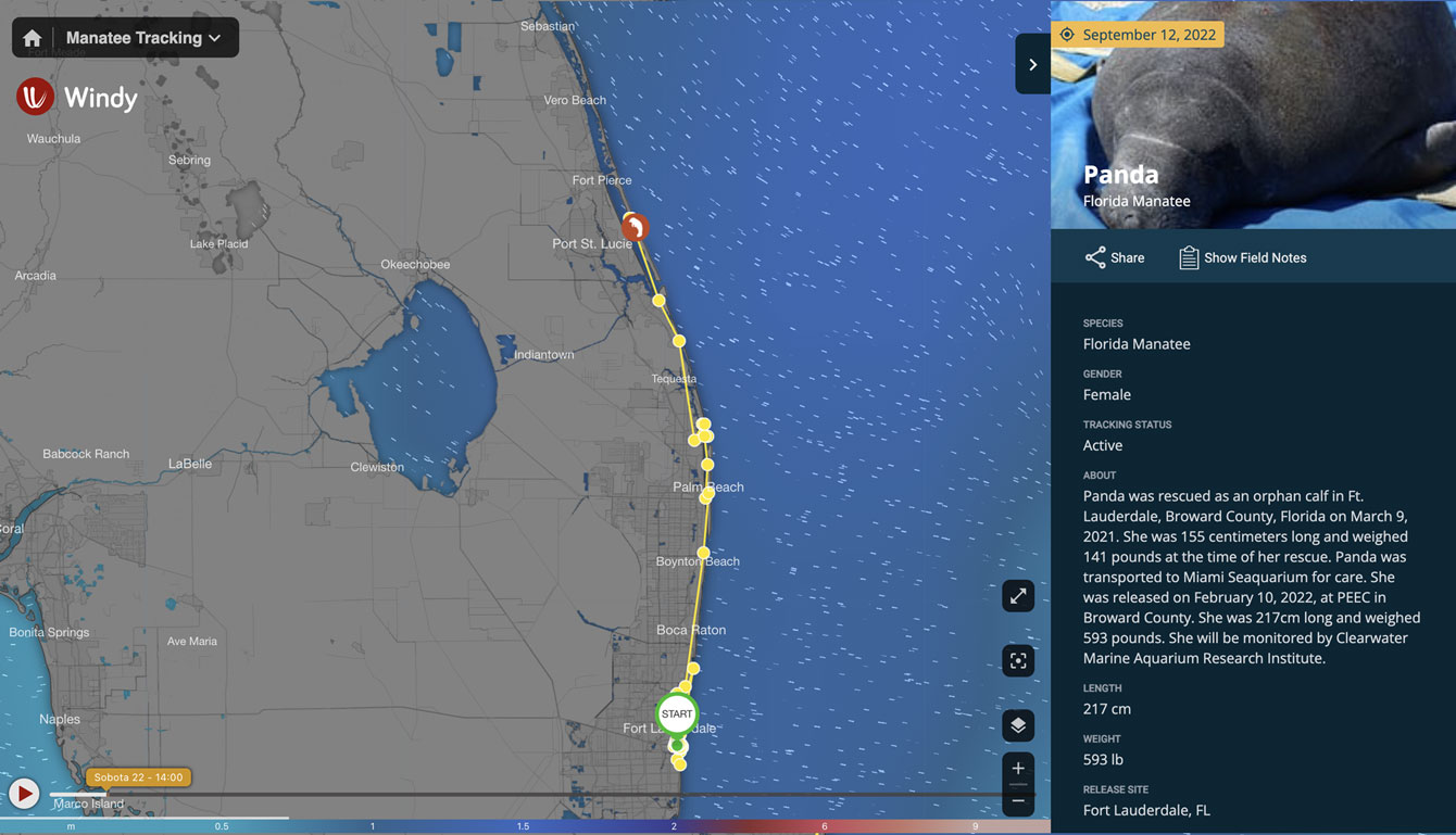
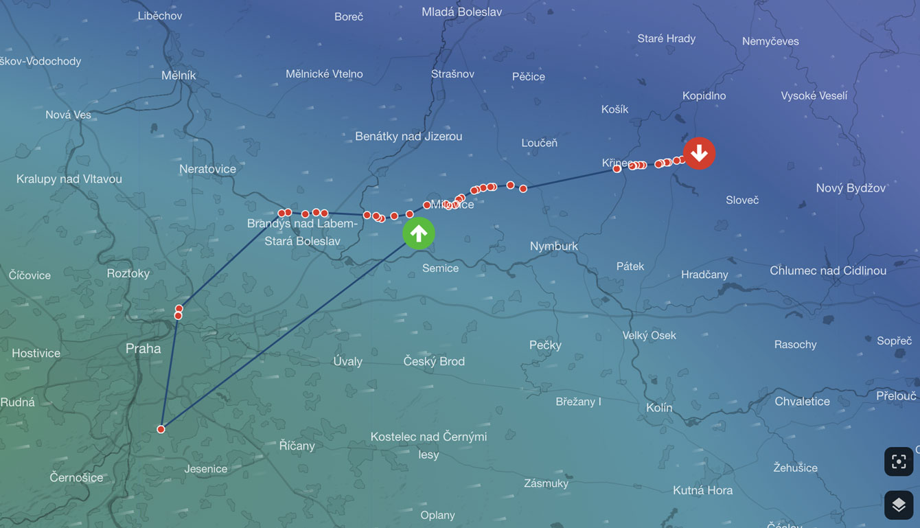
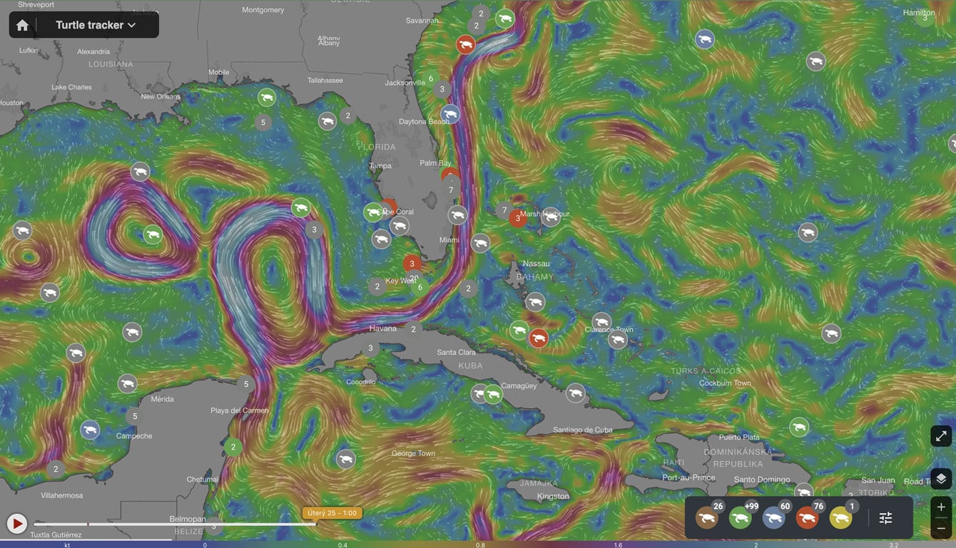
Provide information in context and present your location data with different map layers, including currents, wind, and sea floor details.


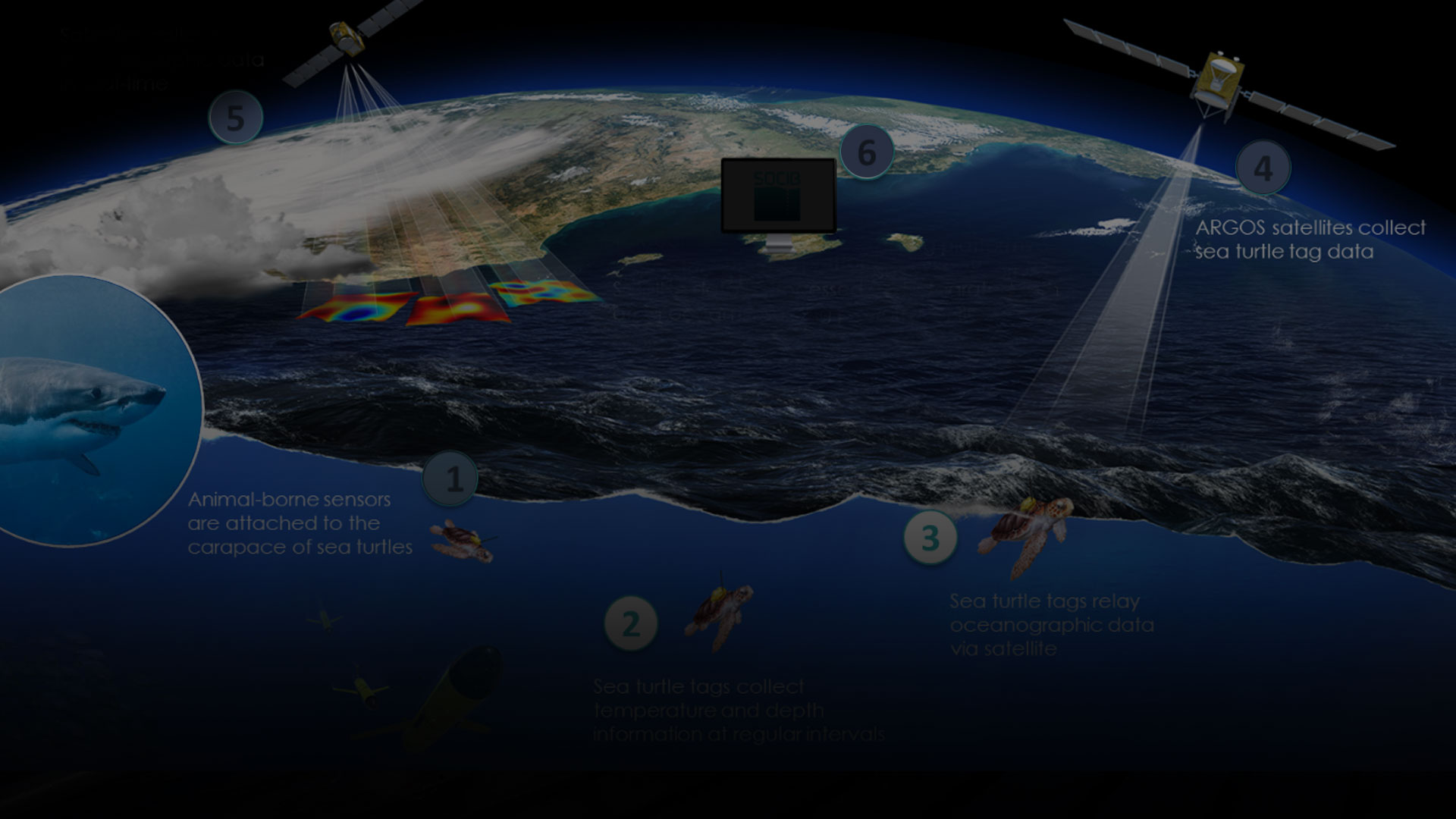
OCEARCH operates the world’s largest system for real-time tracking and visualization of sharks and other marine animals.
Fahlo increases their sales and supports non-profits through interactive animal tracking
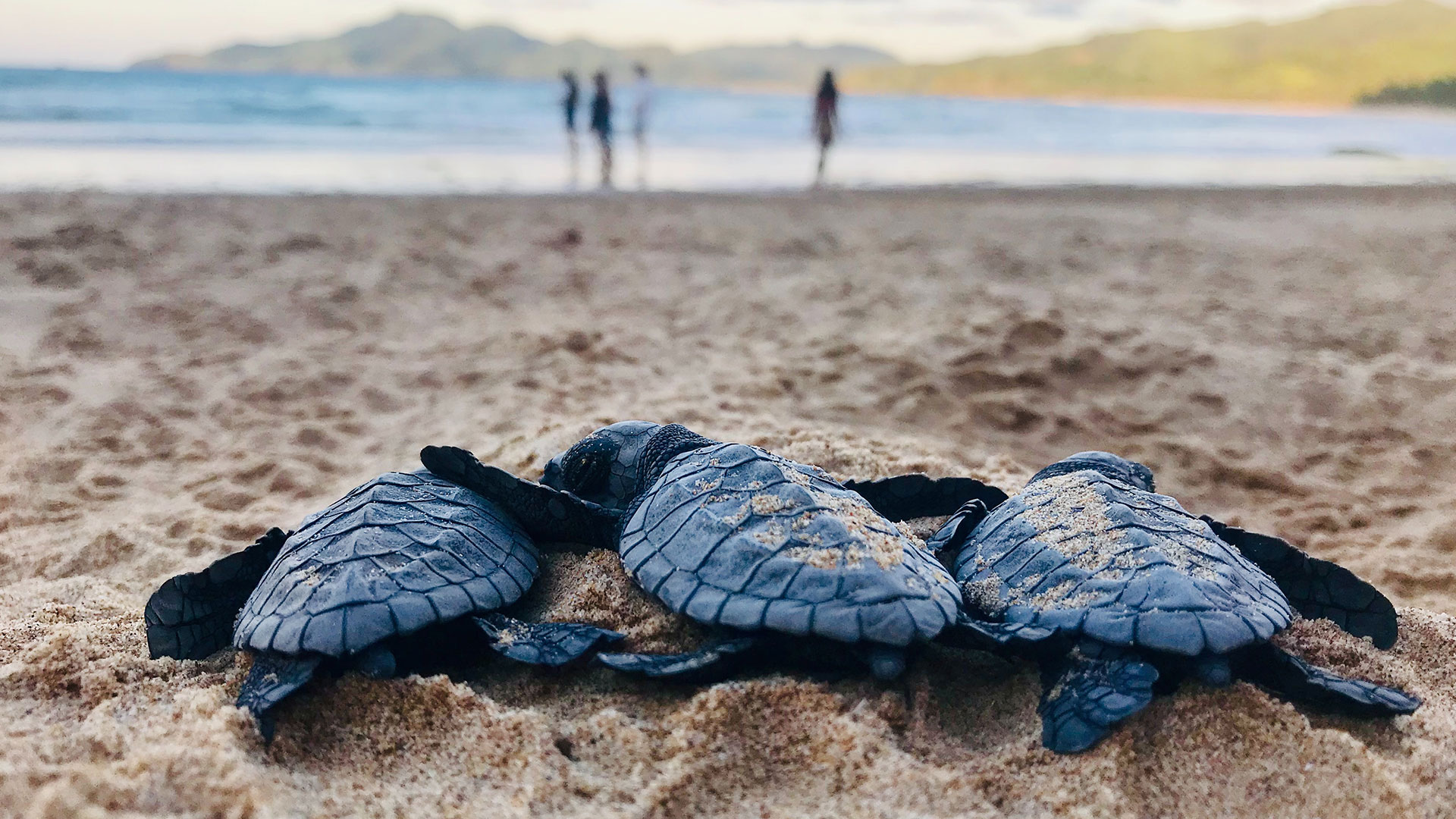
Sea Turtle Conservancy uses Mapotic to track the movement of sea turtles
Get things done in a matter of hours (small projects) or weeks (extensive projects)
Extend your content with external data sources open digital
Combine geolocation and animal tracking data with non-geolocation information
Group objects and adjust map outputs to your structure with advanced filters
Your dynamic wildlife tracking data can be used for your own standalone pre-built mobile app.
Start on lower levels and pay for what you really use.