Um El Faroud, Malta
European Air and Shipwrecks
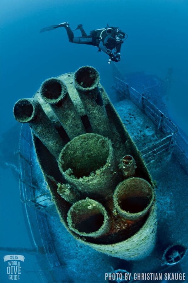
Description: This 360-foot-long tanker became Malta’s largest artificial reef when it was sunk in 115 feet in 1998. Over the years, a series of storms has taken its toll on the ship, breaking it in two and giving it the appearance of a natural wreck. The superstructure is split in front of the bridge, but both sections lie close together. Explore the huge holds, and don’t miss the imposing bow, impressive rudder and prop.
Located: Ocean
State: Good
Vessel Type: Tanker
Crash Date: 1990 ->
Accessibility: Easy
Comments
European Air and Shipwrecks was created by Free Custom Map Builder that powers thousands of custom online maps.
Want to build own custom map for your business or community? Try Mapotic's custom map maker and create customizable or branded maps in minutes. Leverage filters, custom categories, crowdsourcing and SEO. Create a free custom map.