St John Street
Exploring Clerkenwell and Farringdon
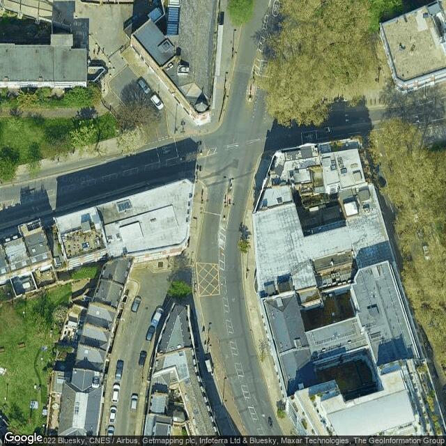
Description: description: London’s first major north-south route, St John Street was described in 1170 as the street “which goeth from the bar of Smithfield towards Yseldon (Islington)”. Islington was used as a resting and grazing point for cattle to be fattened up ready for sale at Smithfield market, following their long walk from as far away as Wales. (Clerkenwell 101)Site: More info: https://bit.ly/3cLBgIEwhat3words: https://w3w.co/lists.submit.fantasticWikipedia:
Comments
Exploring Clerkenwell and Farringdon was created by Free Custom Map Builder that powers thousands of custom online maps.
Want to build own custom map for your business or community? Try Mapotic's custom map maker and create customizable or branded maps in minutes. Leverage filters, custom categories, crowdsourcing and SEO. Create a free custom map.