Forest 44 Conservation Area
Environmental Science Final Project Map
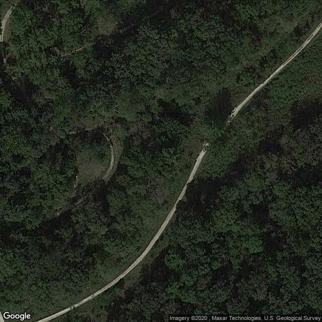
Description: Once an old cattle park, this location consists of 998 acres of land that is conserved near highway 44. It offers the community an escape into the forest for beautiful scenery and rigorous hikes.
Address: 551 Hillsboro Road, High Ridge, MO 63049
Website: mdc7.mdc.mo.gov
Phone: (636) 458-2236
Comments
Environmental Science Final Project Map was created by Free Custom Map Builder that powers thousands of custom online maps.
Want to build own custom map for your business or community? Try Mapotic's custom map maker and create customizable or branded maps in minutes. Leverage filters, custom categories, crowdsourcing and SEO. Create a free custom map.