Brederis Baggerlöcher Feld
Dronemap
Constraints: Pedestrians, Nature reserve, Motorized traffic
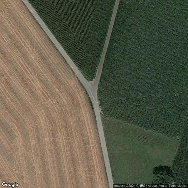
Highlights: Weite Felder, 3 Seend, div. Wälder (Laub u. Nadel) Standort mitten auf einer Kreuzung für den vollen Überblick
Accessibility: Parkplatz Baggerloch Nägele, über Hauptstraße am Seeblick- Stüble vorbei, entlang des Waldes am See, links abbiegen und zwischen den beiden Hauptseen durch und am Ende wieder rechts abbiegen. Dann geradeaus bis zum Spot.
Nearest parking possibility: None
Flight difficulty: Very Easy
Additional Flightinformation: -Im Sommer Badegäste am See (Datenschutz) -Im ganzen Jahr Landwirtschaft und Fischerei (fische werden durch Lärm vertrieben!)
Confirmed as flight location on:: {'content': {'value': '2024-11-01', 'schema': 'date'}, 'data_type': 'single'}
Comments
Dronemap was created by Free Custom Map Builder that powers thousands of custom online maps.
Want to build own custom map for your business or community? Try Mapotic's custom map maker and create customizable or branded maps in minutes. Leverage filters, custom categories, crowdsourcing and SEO. Create a free custom map.