
Tatry National Park
MOTION TRACKING With the Slovak Tatra National Park, we built a system for monitoring the movement of tourists The TANAP…
Our pre-built map components for iOS and Android have been proven with millions of users to provide your audience with the best mapping app experience. Simplified GIS features and an easy to user interface offer all the features needed for working with maps and location data. Be it apps in tourism, wildlife tracking app, community or crowdsourcing apps, community maps or data collection projects.
Display any type of geospatial data with rich content on your map. Map markers that open attractive location details, including multimedia content linked to geospatial data. Easy or advanced filters with comfortable user controls and the ability to visualize both static and dynamic spatial information within the context of various base map layers (ie. weather maps). We simplify the implementation of external data sources and metadata.

Extend your web maps to iOS/mobile applications that work with maps like no other. Each map is adjusted to be fully aligned with your brand. An app can include sponsor/partner logos, or function as a new marketing, acquisition or even sales channel for your products and services.
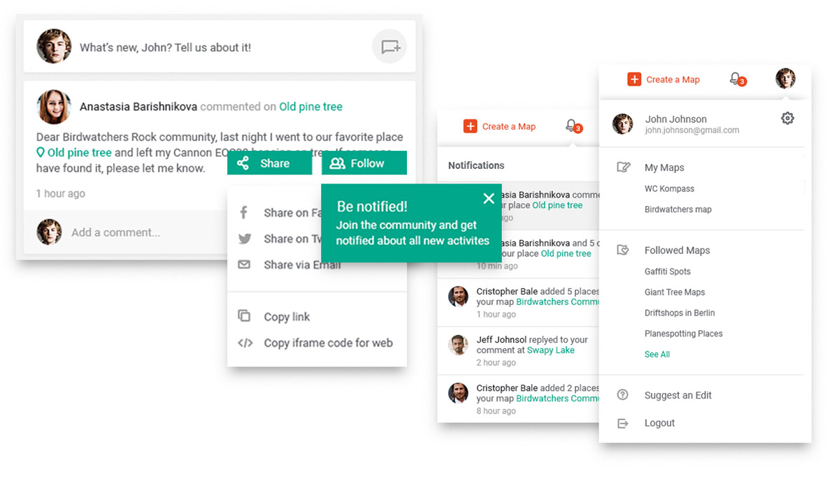
Thanks to user accounts and the ability to register, you can enable users to interact with the app. Users love to create their own favorite lists and save filters that match their needs. Additionally, you can allow them to provide feedback, add additional data to existing content, and crowdsource location-based data.
Thanks to the connection with our back office or Data Machine, you can automate your data flows to always keep the content in the app up-to-date without the need for manual content management. In the same way, you can work with wording or user interface snippets that are controlled by Mapotic CMS and Google Firebase.


Get things done in a matter of hours (small projects) or weeks (extensive projects)
Extend your content with external data sources open dagital
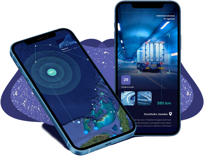
Combine geolocation and animal tracking data with non-geolocation information
Group objects and adjust map outputs to your structure advanced filters
Your dynamic wildlife tracking data can be used for your own standalone pre-built mobile app.
Start on lower levels and pay for what you really use.
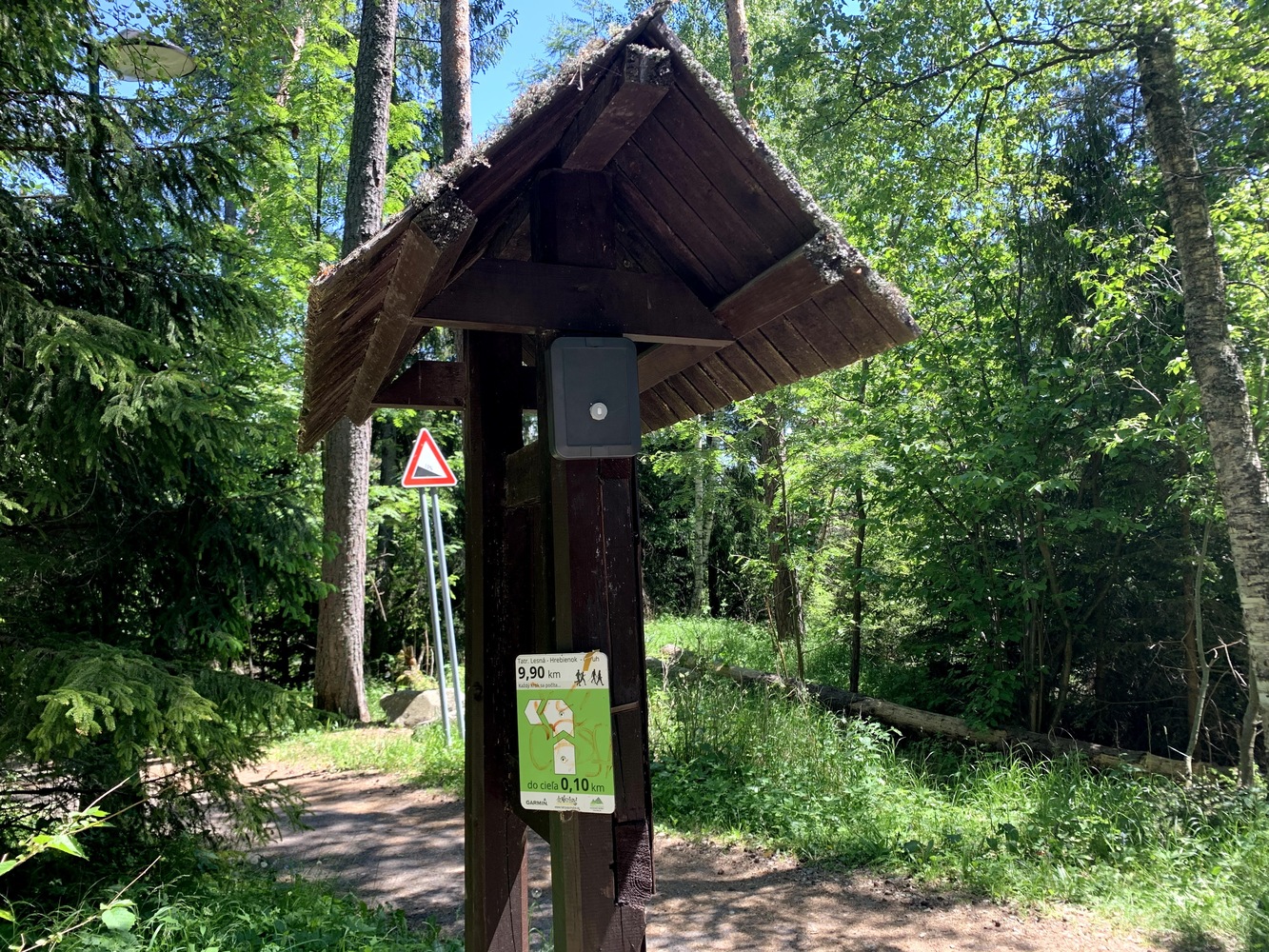
MOTION TRACKING With the Slovak Tatra National Park, we built a system for monitoring the movement of tourists The TANAP…

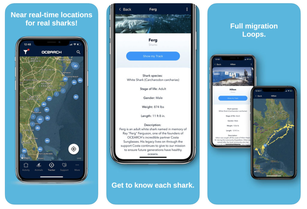
Sea Turtle Conservancy uses Mapotic to track the movement of sea turtles

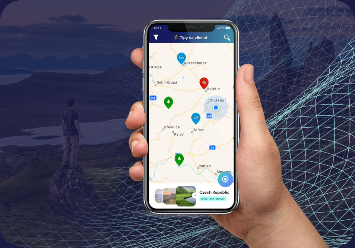
A mobile application with thousands of multilingual travel tips helps national agency to develop sustainable tourism