The use of maps can be very diverse, and from the beginning we decided not to focus on maps directly in the conflict zone. This is due to the difficulty of verifying information, the high dynamics of information, the dangers of decisions made over data directly from the war zone, etc…
Instead, we have decided to focus on using maps for aid coordination and especially for longer-term projects. We currently have two projects, that we have worked on with Česko.Digital team, running in beta.
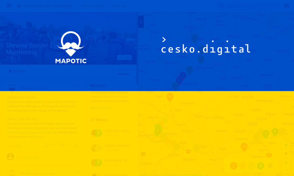
Monitoring the current situation at border crossings
From the beginning, we thought it is project where Mapotic could bring the most benefit in a short period of time. This theory has been validated after consulting with many experts and especially large NGOs working at border crossings, who have repeatedly told us that up-to-date information on the border situation is critical.
We were able to connect with the Ukrainian IT team, which has volunteers at all crossings and updates information several times a day regarding the length of the queue, the number of people and the estimated time of crossing. This data is now displayed in this map UKRAINE BORDER CROSSINGS MONITORING.
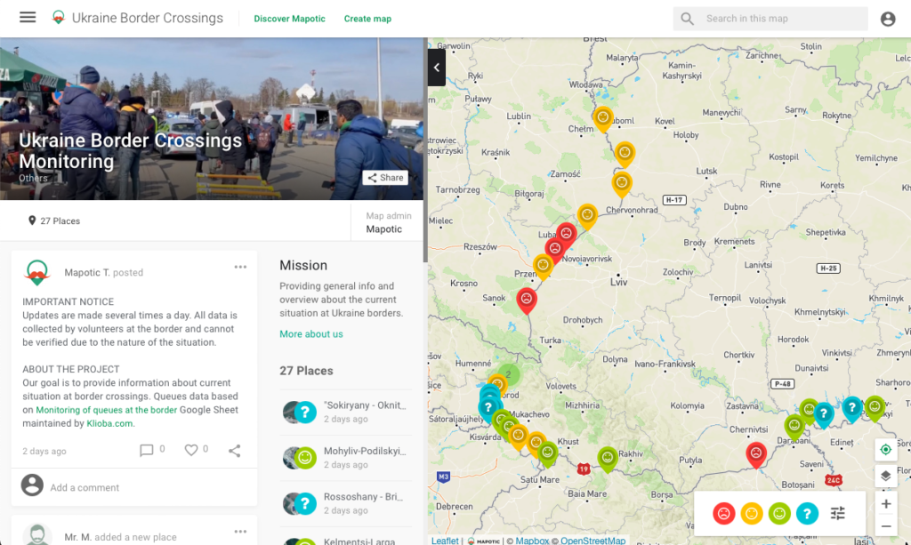
Screenshot form map through which we monitor current situation at border crossings
We also provide data to other partners who add their meta-information or (near) real-time satellite imagery and then provide it in closed form to other entities.
UMAPA - Ukraine Community Map
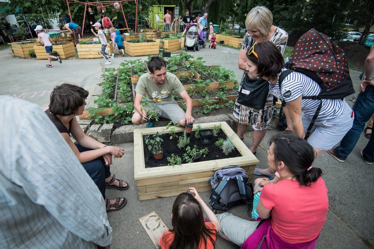
Together with the people from Cesko.Digital behind the StojimeZaUkrajinou.cz (eng: we stand with Ukraine) portal, we have focused on the topic of facilitating the integration of refugees in destination countries.
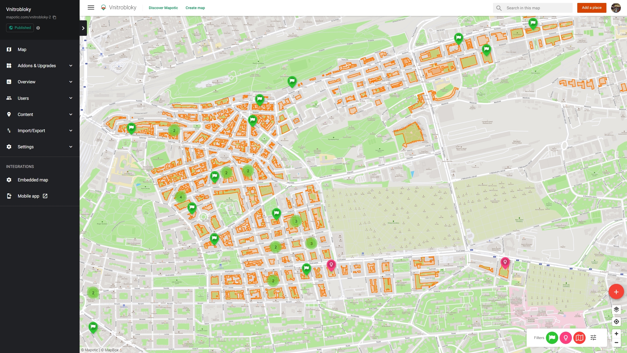
Since Mapotic is built from the beginning as a community map platform, we are creating an interactive map primarily targeted at Ukrainian refugees. The goal is to make it easy for them to navigate in their new country and find key services – from institutions, schools, doctors, legislative or translation assistance, etc.
The main advantages over spontaneously emerging projects are:
It will be a visualized structured database on top of the map – so you can filter the map e.g. only for doctors who can speak English or find a nursery that still has free capacity
Entries in the map can be taken over and managed by the subjects themselves, eliminating the complex process of updating data by editors
The project will have a web-based version that can be easily embedded and we have commitments from a number of portals, nonprofits and ministries
We are preparing a mobile app that will be the easiest tool for Ukrainians themselves – they will be able to create accounts and add content, comment, etc.
We are preparing everything in multilingual (now it will be Ukrainian, English, Czech), with the launch of a pilot project in the Czech Republic, but also with the possibility of cloning or expanding the project to other countries
The goal is to gradually hand over the management of the project and content to the community itself, to associations or organizations that have been working on this topic for a long time.

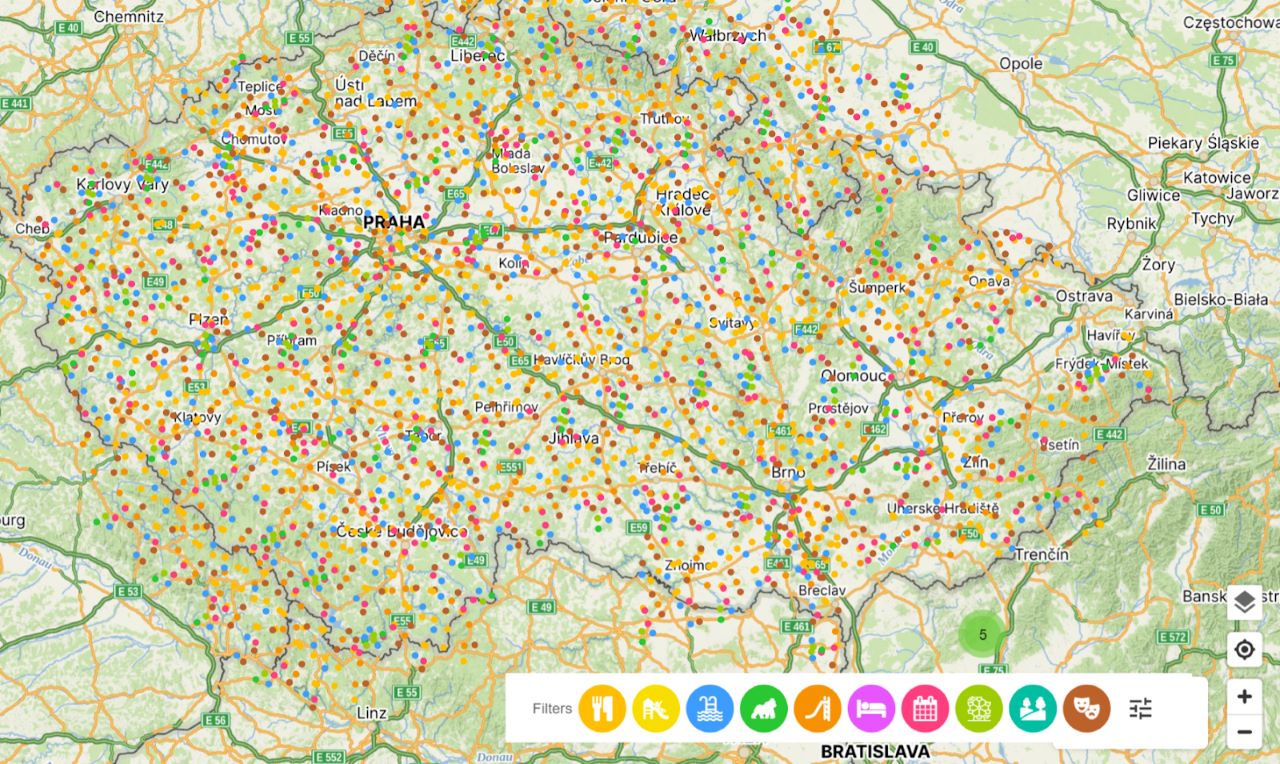
Demo of our app for Ukraine communities
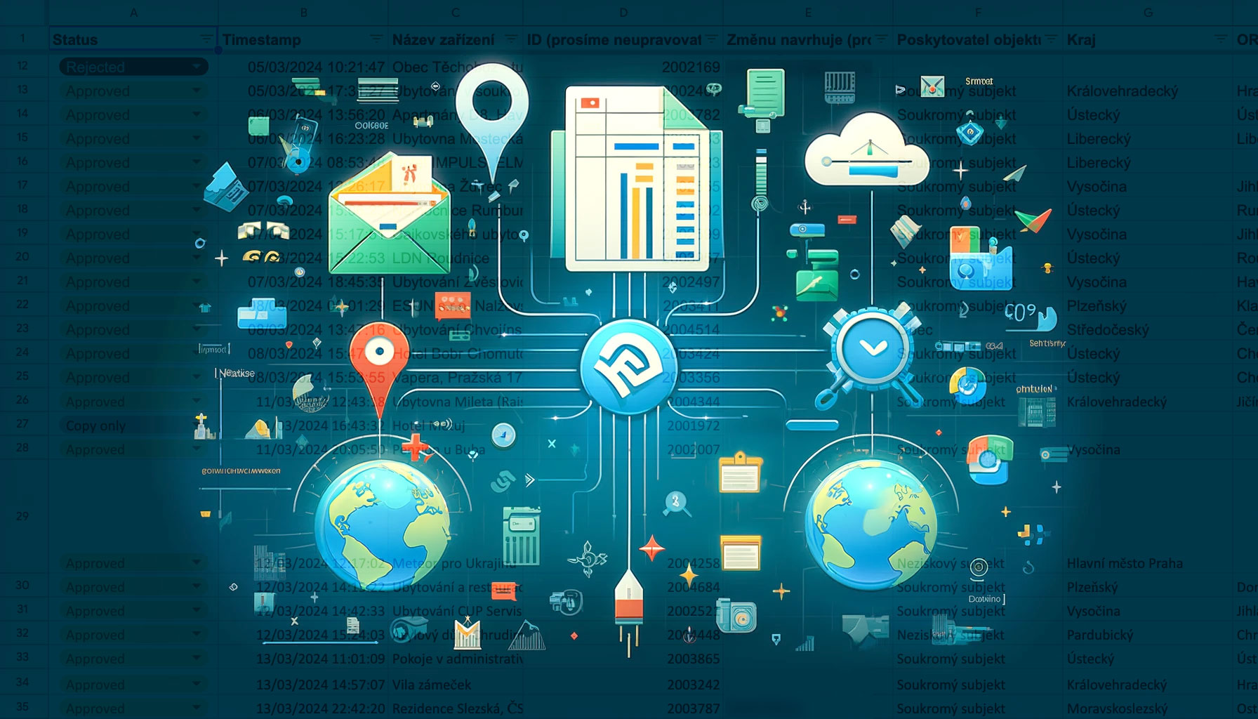
At the moment we have over 2,000 locations on the map, divided into categories of doctors, psychological assistance, translators, education, community meeting places, material aid dispensaries and more. The map is not focusing on accommodation or short-term offers and marketplace type requests – we are looking for long-term and permanent assistance.
We cooperate with Česko.Digital on the project, but we are looking for volunteers for cooperation – data filling, research and communication with partners. If you are interested in getting involved, please get in touch.
How to use UMAPA
Copypaste following code to embed the map into your website:
					<div style="-webkit-overflow-scrolling: touch; overflow-y: auto; line-height: 0px;">
    <iframe style="overflow: hidden; width: 100%; height: 480px;" allow="geolocation *; camera *;" frameborder="0" src="https://www.umapa.eu/embed"></iframe>

    </iframe>
    </div>
If you are an organization that wants to get involved, embed the map into your website, or link data or develop the project in other countries, please feel free to get in touch at [email protected].